
Fishing at Fleuve St-Laurent, Cap-Saint-Ignace
Fleuve · Chaudière-Appalaches
Cap-Saint-Ignace
Description
The St. Lawrence River at Cap-Saint-Ignace, located in the Chaudière-Appalaches region, is a popular fishing spot. This waterway, covering an area of 205.8 km², provides a rich habitat for various fish species. Anglers can expect to catch pike, walleye, and trout. To make the most of your experience, it is recommended to book in advance, especially during peak season. Access is straightforward from the south shore of the estuary, with several accommodations available nearby.
Highlights
- 🎣SpeciesPike, walleye, and trout await anglers.
- 📍Location/Depth/AreaSt. Lawrence River, 205.8 km² at Cap-Saint-Ignace.
- 🏕️AccommodationSeveral accommodation options available nearby.
- 🚤Access/LaunchEasy access from the south shore of the estuary.
- 📅Season/PeriodBooking recommended during peak season.
Onsite Equipment
Réglementation officielle
Zone de pêche, exceptions et règles MFFP / Québec.ca
- - That part of the river and its tributaries bounded to the south by the portion of Route 132 between the Richelieu (46°02'30" N., 73°07'01" W.) and Yamaska (46°00'17" N., 72°54'43" W.), north-west of the St. Lawrence River and on the east by the Yamaska River.HiverZone 7 →
Source : peche.faune.gouv.qc.ca — vérifie toujours les règles officielles avant de pêcher.
Location
Other fishing spots nearby
8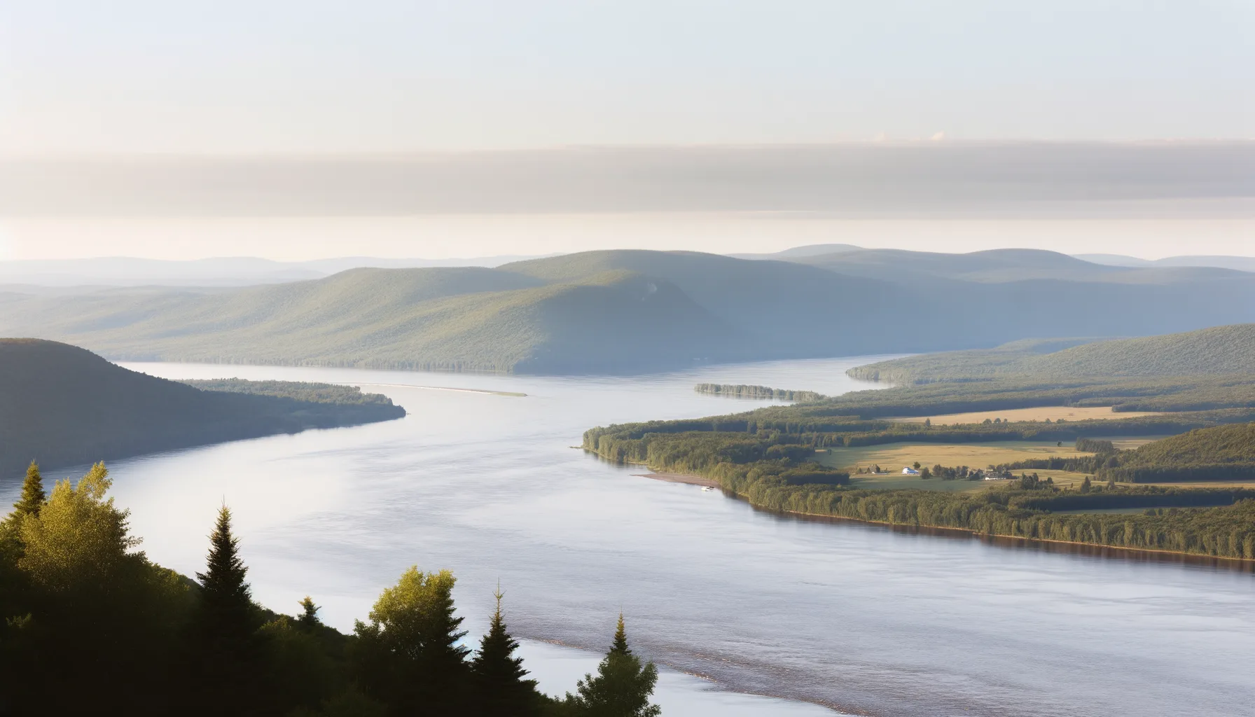 Fleuve7.6 km
Fleuve St-Laurent
Montmagny
Fleuve8.5 kmMontmagny (repère)
 Lac13.2 km
Lac Morigeau
Cap-Saint-Ignace
Fleuve13.7 kmFleuve St-Laurent
L'Islet
 Rivière16.4 km
Rivière Chaudière
Montmagny
Fleuve20.8 kmFleuve St-Laurent
St-Jean-Port-Joli
Fleuve21.4 kmFleuve St-Laurent
Berthier-sur-Mer
Fleuve22.7 kmFleuve St-Laurent
Berthier-sur-Mer