
Back to the map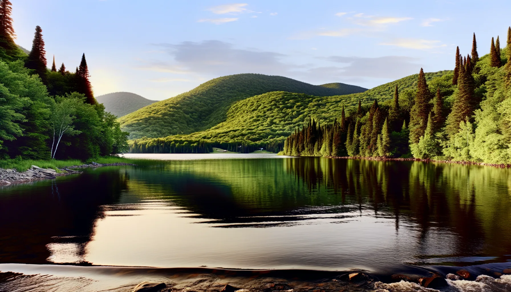 Lac0.8 km
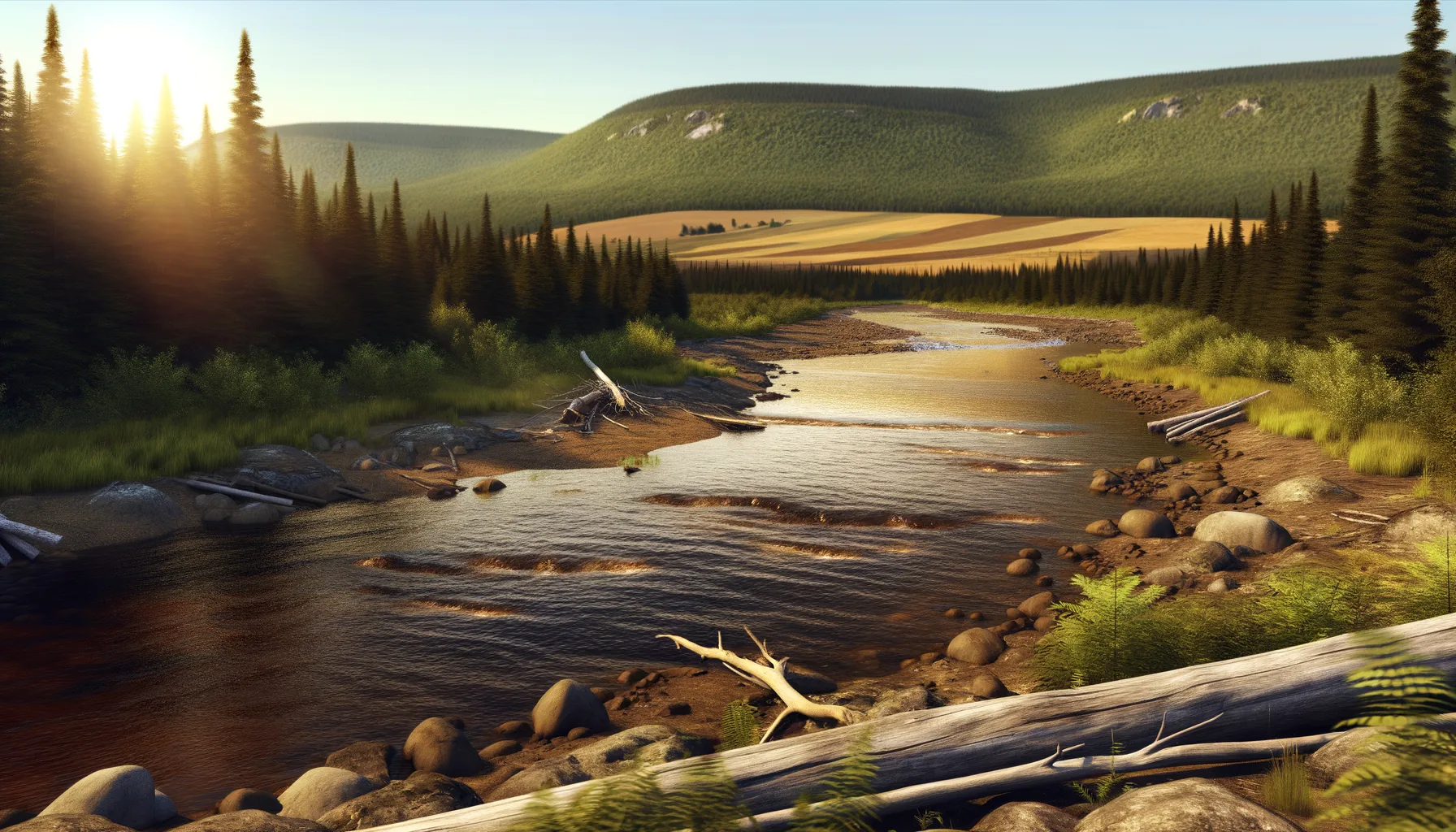 Rivière4.2 km
 Fleuve5.5 kmFleuve8.4 km
 Baie8.6 kmLac8.7 kmBaie9.6 kmLac10.2 km
Fishing at Oka (repère secteur parc)
Lac · Laurentides
LacEasy access
6
Species
Description
Lake Oka, located in the Laurentides region, is a popular spot for fishing enthusiasts. The Centre de pêche Chez Robert, situated at 1460 Rang Sainte-Philomène, serves as a great starting point to explore the waters teeming with pike and bass. In spring, high water levels can make some areas challenging to access. It is advisable to check conditions before heading out. To make the most of your experience, consider booking in advance and familiarizing yourself with local regulations.
Highlights
- 🎣SpeciesLake teems with pike and bass.
- 📍LocationCentre de pêche Chez Robert, 1460 Rang Sainte-Philomène.
- ⚠️ParticularityHigh water levels in spring can hinder access.
- 💡AdviceBook in advance and check local regulations.
Species of Fish
Recommended Techniques
TopwaterCuillère tournante/ondulanteCrankbait / jerkbait
Onsite Equipment
Parking
Réglementation officielle
Zone de pêche, exceptions et règles MFFP / Québec.ca
Zone de pêche
Zone 8
Nouveautés réglementaires de la zone
Modification of the length limit for muskellunge in all bodies of water in zones 7 and 8, including the St. Lawrence River: 137 cm and more.
Modification of the muskellunge fishing season in bodies of water in zones 7 and 8: winter fishing is now prohibited.
Extension of the moratorium on sport and commercial yellow perch fishing in lac Saint-Pierre and the St. Lawrence River between pont Laviolette and Saint-Pierre-les-Becquets, until 2027.
Exception réglementaire sur ce plan d'eau
- des Outaouais (Lac des Deux Montagnes) c) That part between the electric power transmission line located approximately 4 km downstream of the Carillon Dam (45°32'19" N., 74°21'08" W.) and the downstream limits of Lake of Two Mountains, namely: (1) the Highway 40 bridge (45°25'12.92" N., 73°59'01.92" W.); (2) the upstream portion of the Rivière des Prairies (45°28'24.32" N., 73°56'25.32" W. and 45°31'17.26" N., 73°52'50.79" W.); (3) the upstream portion of the Rivière des Mille Îles (45°31'49.53" N., 73°53'15.75" W.), including the downstream section of the Rigaud River up to the Highway 40 bridge (45°29'10" N., 74°17'57" W.)RivièreNouveau 2026Zone 8
Source : peche.faune.gouv.qc.ca — vérifie toujours les règles officielles avant de pêcher.
Location
Other fishing spots nearby
8Lac0.8 kmLac des Deux-Montagnes
Oka
Rivière4.2 kmRivière des Outaouais
Hudson
Fleuve5.5 kmHudson (repère accès riverain)
Fleuve8.4 kmVaudreuil-Dorion (repère quais/baie)
Baie8.6 kmBaie de Vaudreuil
Vaudreuil-Dorion
Lac8.7 kmLac Écho
Saint-Joseph-du-Lac
Baie9.6 kmBaie de Vaudreuil
Vaudreuil-Dorion
Lac10.2 kmLac des Deux-Montagnes
Pointe-Calumet