
Back to the map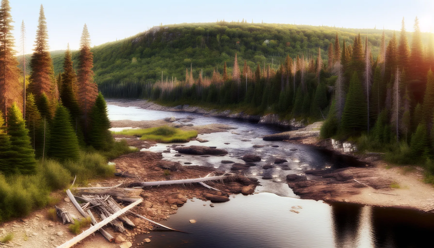 Rivière0.5 kmRivière5.2 kmRivière5.2 kmRivière12.8 kmRivière13.6 kmRivière15.8 km
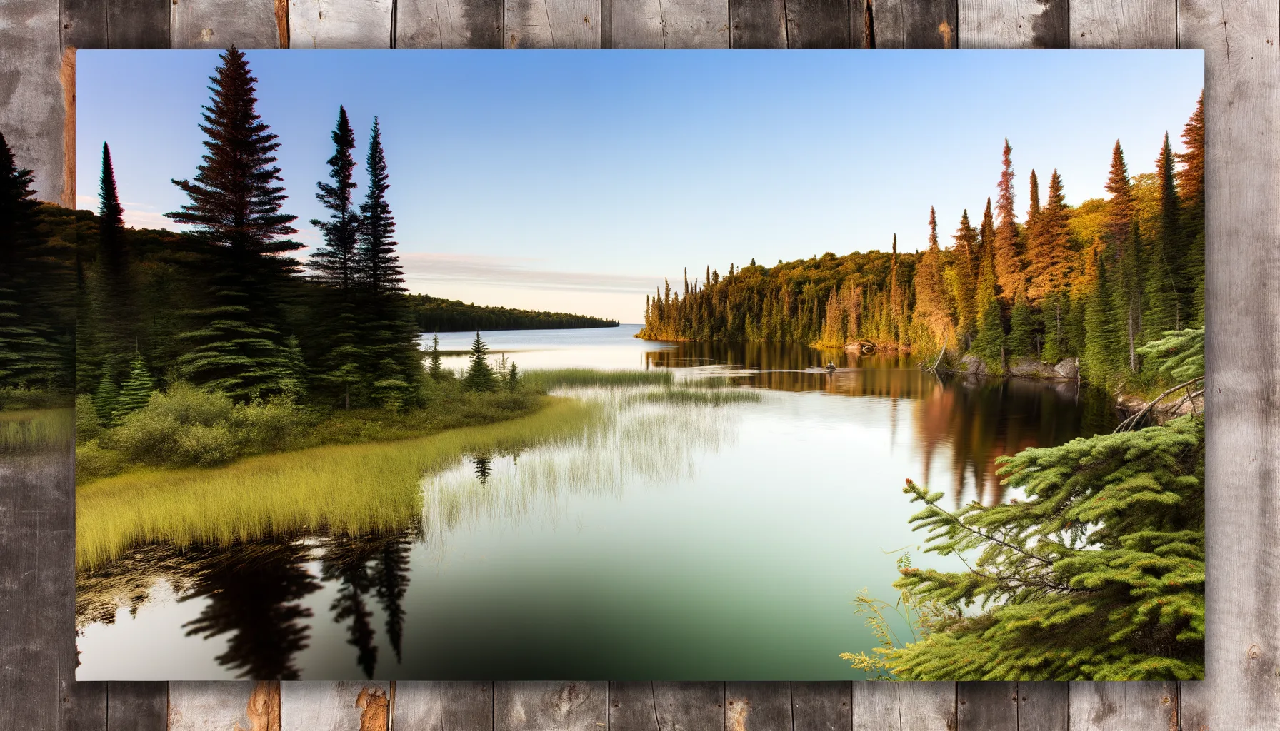 Lac16.4 kmLac17.2 km
Fishing at Rivière des Outaouais, L'Île-du-Grand-Calumet
Rivière · Outaouais
RivièreQuai public
L'Île-du-Grand-Calumet
Description
At Île-du-Grand-Calumet, the Ottawa River awaits you for a relaxing day of fishing. With its large pike and yellow walleye, you are sure to find your happiness. Enjoy easy access thanks to the public dock and nearby parking to cast your line hassle-free.
Highlights
- 🎣SpeciesLarge pike and yellow walleye available.
- 📍LocationÎle-du-Grand-Calumet, Ottawa River.
- 🚤AccessEasy access with public dock and parking.
Onsite Equipment
Parking
Quai
Réglementation officielle
Zone de pêche, exceptions et règles MFFP / Québec.ca
Nouveautés réglementaires de la zone
Modification of daily catch limit for char: 10 in all, with a maximum of 2 Arctic char.
Modification of the bass fishing season in lac Xavier: opens on the fourth Friday in April.
Exceptions réglementaires sur ce plan d'eau
- des OutaouaisRivière
- des Outaouais (Lac des Deux Montagnes)Rivière
- des Outaouais (Lac des Deux Montagnes) a) That part between the Carillon dam (45°34'2,29" N., 74°23'02" W.) and the electrical power transmission line situated about 4 km downstream from that dam (45°32'19'' N, 74°21'08'' W)Rivière
- des Outaouais (Lac des Deux Montagnes) d) That part between a straight line situated 180 m upstream from the CN railroad bridge in Dorion (45°23'17,73" N, 74°00'5,13" W) and the southern tip of the Île aux Pins (45°22'35.77" N, 74°00'6.9" W)RivièreNouveau 2026Zone 8 →
- des Outaouais (Lac des Deux Montagnes) f) That part made up of Carillon Bay, north of the straight line that links Roches Point (45°31'27" N, 74°18'42" W) at Pointe au Foin (45°31'25.06" N, 74°19'18.48" W)Rivière
Source : peche.faune.gouv.qc.ca — vérifie toujours les règles officielles avant de pêcher.
Location
Other fishing spots nearby
8Rivière0.5 kmRivière des Outaouais
Campbell's Bay
Rivière5.2 kmRivière des Outaouais
Litchfield
Rivière5.2 kmRivière des Outaouais
Bryson
Rivière12.8 kmRivière des Outaouais
L'Île-du-Grand-Calumet
Rivière13.6 kmRivière des Outaouais
Mansfield-et-Pontefract
Rivière15.8 kmRivière des Outaouais
Portage-du-Fort
Lac16.4 kmLac Leslie
Otter Lake
Lac17.2 kmLac McCuaig
Otter Lake