Back to the map
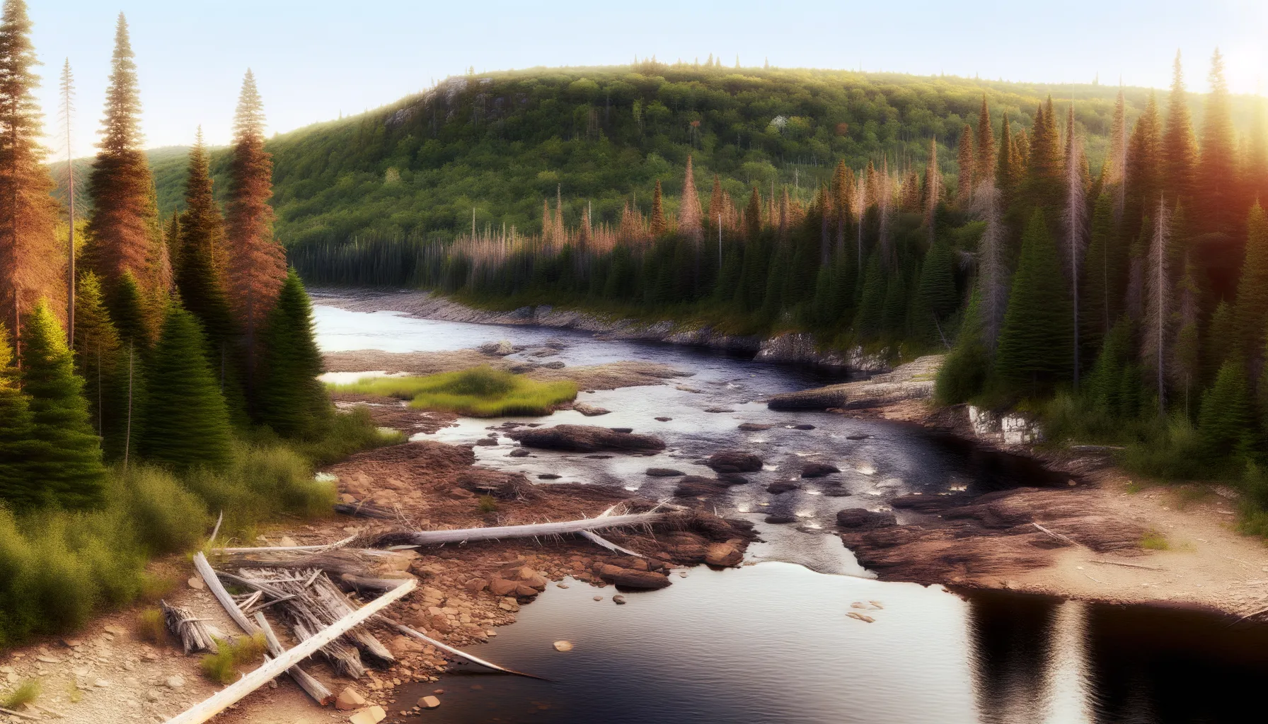
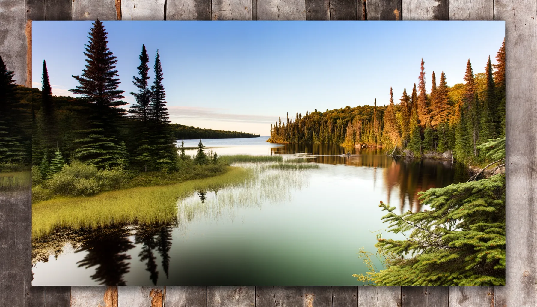
Fishing at Rivière des Outaouais, L'Isle-aux-Allumettes
Rivière · Outaouais
RivièreEasy access
L'Isle-aux-Allumettes
Description
The Ottawa River at L'Isle-aux-Allumettes is a prime spot for fishing enthusiasts, where you can catch large northern pike and yellow walleye. With a boat launch and nearby parking, access is easy for you to dive into the adventure. Enjoy this beautiful river and its many species!
Highlights
- 🎣SpeciesLarge northern pike and yellow walleye.
- 🚤Access/LaunchBoat launch available.
- 📍LocationOttawa River, L'Isle-aux-Allumettes.
Onsite Equipment
Boat Launch
Parking
Réglementation officielle
Zone de pêche, exceptions et règles MFFP / Québec.ca
Nouveautés réglementaires de la zone
Modification of daily catch limit for char: 10 in all, with a maximum of 2 Arctic char.
Modification of the bass fishing season in lac Xavier: opens on the fourth Friday in April.
Exceptions réglementaires sur ce plan d'eau
- des OutaouaisRivière
- des Outaouais (Lac des Deux Montagnes)Rivière
- des Outaouais (Lac des Deux Montagnes) a) That part between the Carillon dam (45°34'2,29" N., 74°23'02" W.) and the electrical power transmission line situated about 4 km downstream from that dam (45°32'19'' N, 74°21'08'' W)Rivière
- des Outaouais (Lac des Deux Montagnes) d) That part between a straight line situated 180 m upstream from the CN railroad bridge in Dorion (45°23'17,73" N, 74°00'5,13" W) and the southern tip of the Île aux Pins (45°22'35.77" N, 74°00'6.9" W)RivièreNouveau 2026Zone 8 →
- des Outaouais (Lac des Deux Montagnes) f) That part made up of Carillon Bay, north of the straight line that links Roches Point (45°31'27" N, 74°18'42" W) at Pointe au Foin (45°31'25.06" N, 74°19'18.48" W)Rivière
Source : peche.faune.gouv.qc.ca — vérifie toujours les règles officielles avant de pêcher.