
Back to the map Rivière0.7 kmRivière2.4 kmRivière3.2 kmRivière3.4 kmRivière5.9 kmRivière6.7 kmRivière7.4 km
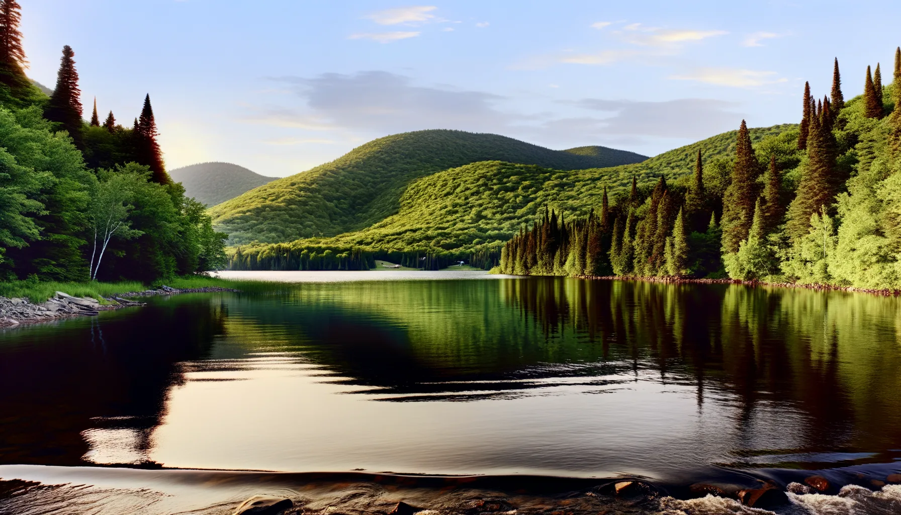 Lac10.6 km
Fishing at Rivière des Outaouais, Pointe-Fortune
Rivière · Laurentides
RivièreAccès payant
Pointe-Fortune
Description
The Ottawa River at Pointe-Fortune is an excellent spot for fishing for yellow perch and walleye. With a boat launch and on-site parking, access is easy for fishing enthusiasts. Enjoy a day by the water while respecting the current regulations.
Highlights
- 🎣SpeciesYellow perch and walleye.
- 📍LocationOttawa River, Pointe-Fortune.
- 🚤Access/LaunchBoat launch available.
- 🏕️ParkingOn-site parking.
Onsite Equipment
Boat Launch
Parking
Quai
Réglementation officielle
Zone de pêche, exceptions et règles MFFP / Québec.ca
Zone de pêche
Zone 8
Nouveautés réglementaires de la zone
Modification of the length limit for muskellunge in all bodies of water in zones 7 and 8, including the St. Lawrence River: 137 cm and more.
Modification of the muskellunge fishing season in bodies of water in zones 7 and 8: winter fishing is now prohibited.
Extension of the moratorium on sport and commercial yellow perch fishing in lac Saint-Pierre and the St. Lawrence River between pont Laviolette and Saint-Pierre-les-Becquets, until 2027.
Exceptions réglementaires sur ce plan d'eau
- des OutaouaisRivièreZone 29
- des Outaouais (Lac des Deux Montagnes)RivièreZone 8
- des Outaouais (Lac des Deux Montagnes) a) That part between the Carillon dam (45°34'2,29" N., 74°23'02" W.) and the electrical power transmission line situated about 4 km downstream from that dam (45°32'19'' N, 74°21'08'' W)RivièreZone 8
- des Outaouais (Lac des Deux Montagnes) d) That part between a straight line situated 180 m upstream from the CN railroad bridge in Dorion (45°23'17,73" N, 74°00'5,13" W) and the southern tip of the Île aux Pins (45°22'35.77" N, 74°00'6.9" W)RivièreNouveau 2026Zone 8
- des Outaouais (Lac des Deux Montagnes) f) That part made up of Carillon Bay, north of the straight line that links Roches Point (45°31'27" N, 74°18'42" W) at Pointe au Foin (45°31'25.06" N, 74°19'18.48" W)RivièreZone 8
Source : peche.faune.gouv.qc.ca — vérifie toujours les règles officielles avant de pêcher.
Location
Other fishing spots nearby
8Rivière0.7 kmRivière des Outaouais
Carillon
Rivière2.4 kmRivière des Outaouais
Brownsburg-Chatham
Rivière3.2 kmRivière du Nord
Saint-André-d'Argenteuil
Rivière3.4 kmRivière du Nord
St-André-D'Argenteuil
Rivière5.9 kmRivière Outaouais
Brownsburg-Chathorn
Rivière6.7 kmRivière des Outaouais
Rigaud
Rivière7.4 kmRivière des Outaouais
Saint-André-d'Argenteuil
Lac10.6 kmLac du Cœur
Saint-André-d'Argenteuil