
Back to the map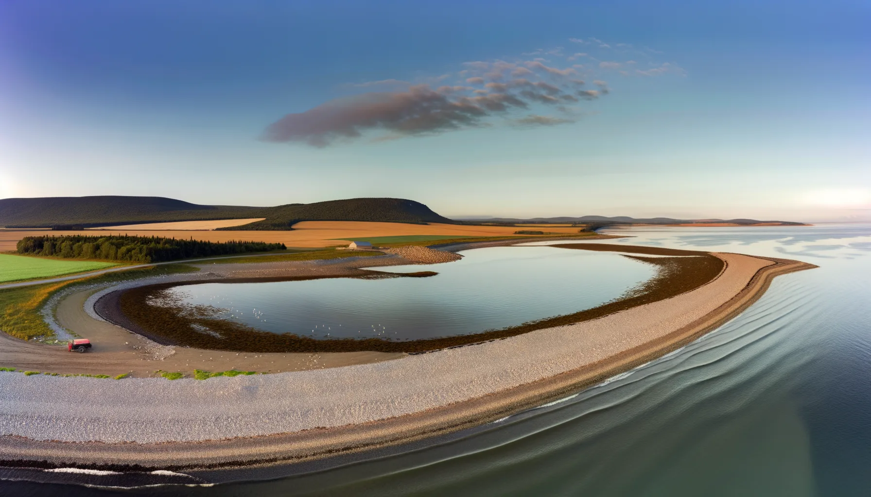 Baie1.4 kmBaie1.8 km
 Rivière2.8 kmRivière3.1 kmRivière4.3 kmRivière5.2 km
 Lac6.5 kmRivière6.6 km
Fishing at Vaudreuil-Dorion (repère quais/baie)
Fleuve · Montérégie
FleuveQuai public
6
Species
Description
Vaudreuil-Dorion, located in Montérégie, is a great fishing spot along the Saint Lawrence River. Just 25 minutes from Montreal, this strategic location sits at the confluence of the Ottawa River, between Lake Saint-Louis and Lake Deux Montagnes. The C.R. Fishing Center provides amenities to enhance your fishing experience. Be sure to check the hours and make reservations in advance to make the most of your outing. Species available include walleye and pike.
Highlights
- 🎣SpeciesWalleye and pike available.
- 📍LocationJust 25 minutes from Montreal.
- 🏕️AmenitiesFacilities at C.R. Fishing Center.
- 💡TipMake reservations in advance.
Recommended Techniques
Cuillère tournante/ondulanteTopwaterPêche au fond (appât naturel)
Onsite Equipment
Parking
Réglementation officielle
Zone de pêche, exceptions et règles MFFP / Québec.ca
Zone de pêche
Zone 8
Nouveautés réglementaires de la zone
Modification of the length limit for muskellunge in all bodies of water in zones 7 and 8, including the St. Lawrence River: 137 cm and more.
Modification of the muskellunge fishing season in bodies of water in zones 7 and 8: winter fishing is now prohibited.
Extension of the moratorium on sport and commercial yellow perch fishing in lac Saint-Pierre and the St. Lawrence River between pont Laviolette and Saint-Pierre-les-Becquets, until 2027.
Exceptions réglementaires sur ce plan d'eau
- des Outaouais (Lac des Deux Montagnes) d) That part between a straight line situated 180 m upstream from the CN railroad bridge in Dorion (45°23'17,73" N, 74°00'5,13" W) and the southern tip of the Île aux Pins (45°22'35.77" N, 74°00'6.9" W)RivièreNouveau 2026Zone 8
- des Outaouais (Lac des Deux Montagnes) b) (1) Vaudreuil Bay, that part between the Highway 40 bridge (45°25'12.92" N., 73°59'1.92" W.) and a straight line located 180 m upstream of the CN bridge in Dorion (45°23'17.73" N., 74°00'5.13" W.) and a straight line located 360 m upstream of the CN bridge in Sainte-Anne-de-Bellevue (45°24'17.25" N., 73°57'40" W.); (2) Vaudreuil Rapids, that part between the southern tip of Île aux Pins (45°22'35.77" N., 74°00'6.9" W.) and Lake Saint-Louis (45°20'34.56" N., 73°57'22" W.)RivièreNouveau 2026Zone 8
Source : peche.faune.gouv.qc.ca — vérifie toujours les règles officielles avant de pêcher.
Location
Other fishing spots nearby
8Baie1.4 kmBaie de Vaudreuil
Vaudreuil-Dorion
Baie1.8 kmBaie de Vaudreuil
Vaudreuil-Dorion
Rivière2.8 kmRivière des Outaouais
Vaudreuil-Dorion
Rivière3.1 kmRivière des Outaouais
Parc de l'Ile-Bray
Rivière4.3 kmRivière des Outaouais
Pincourt
Rivière5.2 kmRivière des Outaouais
Pincourt
Lac6.5 kmLac St-Louis
Sainte-Anne-de-Bellevue
Rivière6.6 kmRivière des Outaouais
Pincourt