
Back to the map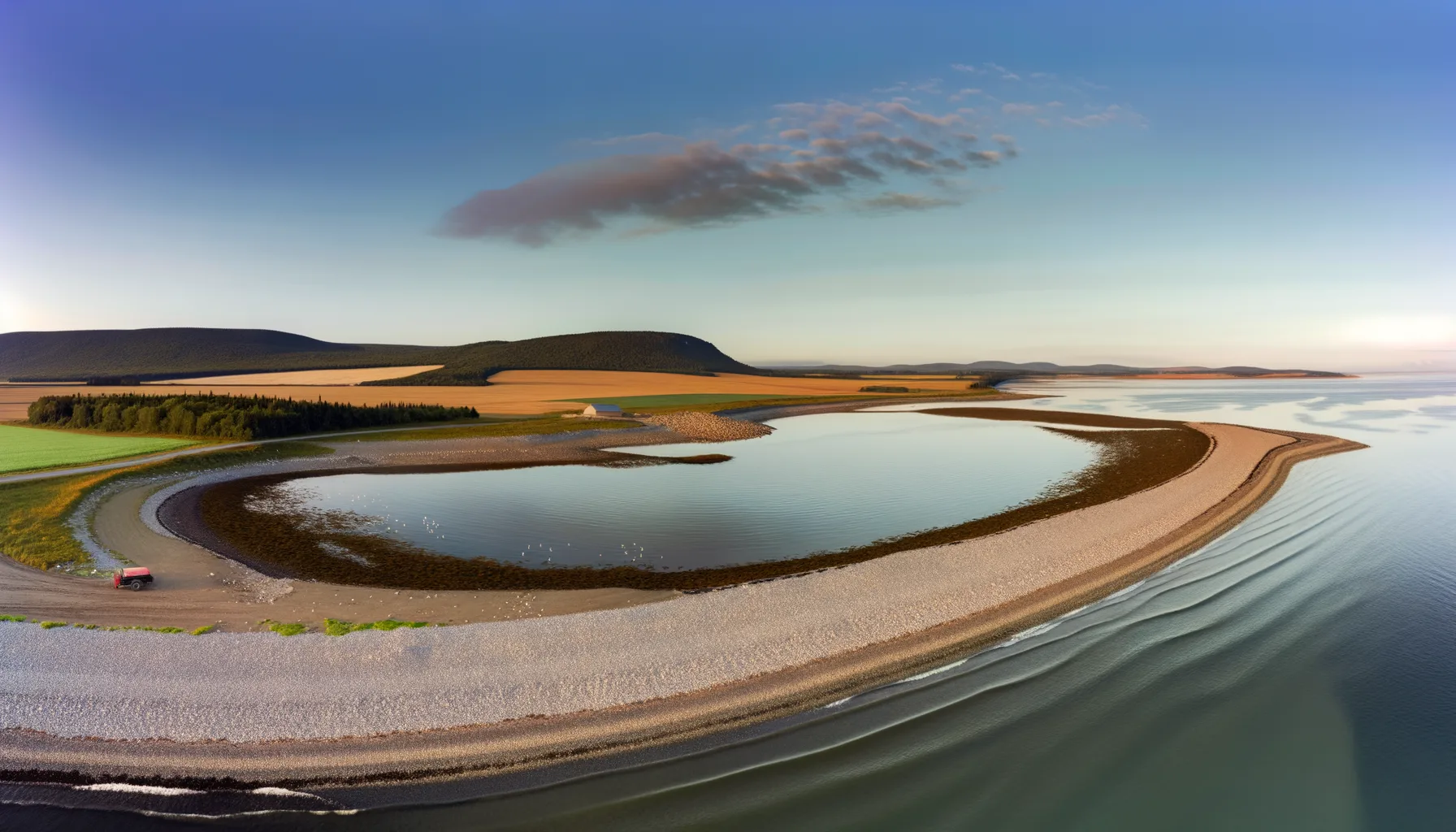 Baie1.0 km
 Rivière2.7 kmRivière4.9 km
 Lac5.2 kmRivière5.6 kmRivière5.6 kmLac5.8 km
 Lac5.9 km
Fishing at Baie de Vaudreuil, Vaudreuil-Dorion
Baie · Montérégie
BaieAccès payant
Vaudreuil-Dorion
Sponsored
Partners


Description
Vaudreuil Bay in Vaudreuil-Dorion is a perfect spot for fishing enthusiasts. Enjoy the paid access that includes a boat launch and parking. You can fish for perch and yellow walleye in a pleasant setting. Don't forget your gear!
Highlights
- 🎣SpeciesPerch and yellow walleye available.
- 📍LocationVaudreuil Bay, Vaudreuil-Dorion.
- 🚤Access/LaunchPaid access with boat launch available.
- 💰FeePaid access required for fishing.
Onsite Equipment
Boat Launch
Parking
Quai
Réglementation officielle
Zone de pêche, exceptions et règles MFFP / Québec.ca
Nouveautés réglementaires de la zone
Modification of the length limit for muskellunge in all bodies of water in zones 7 and 8, including the St. Lawrence River: 137 cm and more.
Modification of the muskellunge fishing season in bodies of water in zones 7 and 8: winter fishing is now prohibited.
Extension of the moratorium on sport and commercial yellow perch fishing in lac Saint-Pierre and the St. Lawrence River between pont Laviolette and Saint-Pierre-les-Becquets, until 2027.
Exceptions réglementaires sur ce plan d'eau
- des Outaouais (Lac des Deux Montagnes) b) (1) Vaudreuil Bay, that part between the Highway 40 bridge (45°25'12.92" N., 73°59'1.92" W.) and a straight line located 180 m upstream of the CN bridge in Dorion (45°23'17.73" N., 74°00'5.13" W.) and a straight line located 360 m upstream of the CN bridge in Sainte-Anne-de-Bellevue (45°24'17.25" N., 73°57'40" W.); (2) Vaudreuil Rapids, that part between the southern tip of Île aux Pins (45°22'35.77" N., 74°00'6.9" W.) and Lake Saint-Louis (45°20'34.56" N., 73°57'22" W.)RivièreNouveau 2026Zone 8 →
- des Outaouais (Lac des Deux Montagnes) d) That part between a straight line situated 180 m upstream from the CN railroad bridge in Dorion (45°23'17,73" N, 74°00'5,13" W) and the southern tip of the Île aux Pins (45°22'35.77" N, 74°00'6.9" W)RivièreNouveau 2026Zone 8 →
- des Outaouais (Lac des Deux Montagnes) e) That part between a straight line situated 360 m upstream from the railroad bridge in Sainte-Anne-de-Bellevue (45°24'17.25" N, 73°57'40.0" W) and Lake Saint-Louis (45°24'03.43" N, 73°56'55.7" W) including that part of the river known as the Proulx channel or Stocker stream up to the end of the L¿Île-Claude road (45°23'55.29" N., 73°58'7.18" W.)RivièreNouveau 2026Zone 8 →
Source : peche.faune.gouv.qc.ca — vérifie toujours les règles officielles avant de pêcher.
Location
Other fishing spots nearby
8Baie1.0 kmBaie de Vaudreuil
Vaudreuil-Dorion
Rivière2.7 kmRivière des Outaouais
Parc de l'Ile-Bray
Rivière4.9 kmRivière des Outaouais
Pincourt
Lac5.2 kmLac St-Louis
Sainte-Anne-de-Bellevue
Rivière5.6 kmRivière des Outaouais
Vaudreuil-Dorion
Rivière5.6 kmRivière des Outaouais
Pincourt
Lac5.8 kmLac St-Louis
Sainte-Anne-de-Bellevue
Lac5.9 kmLac St-Louis
L'Île-Perrot