
Back to the map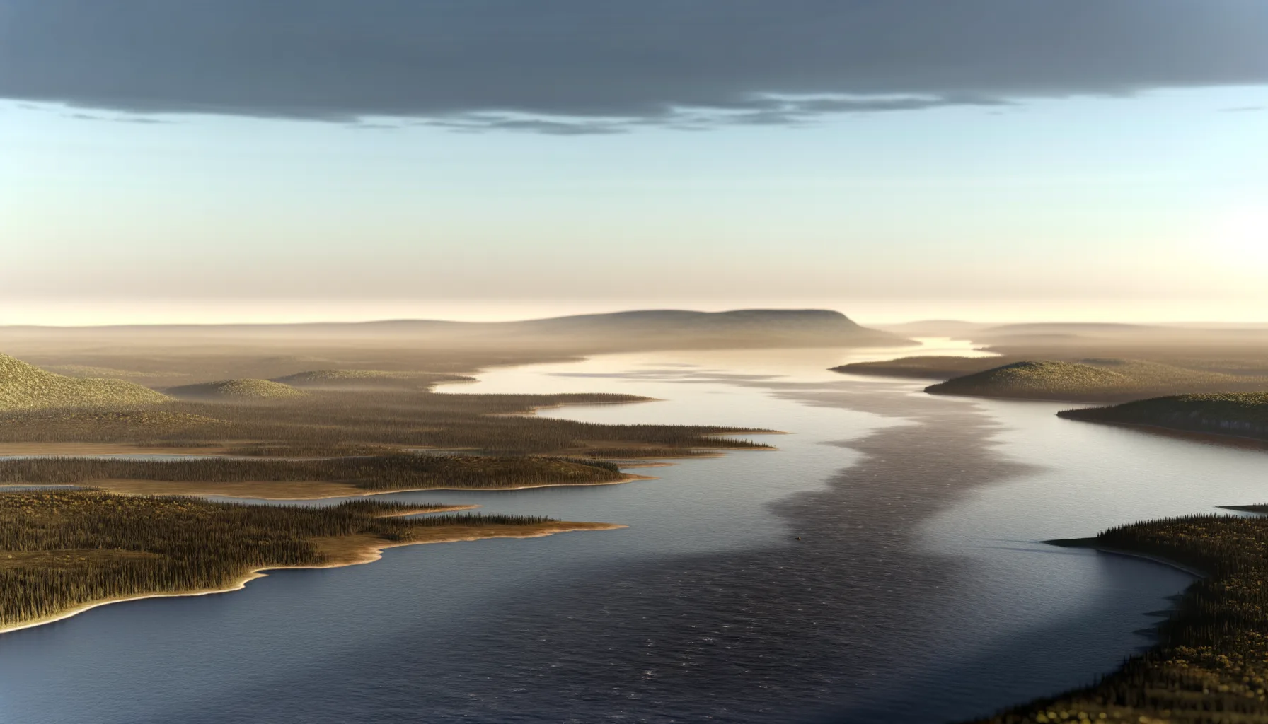 Fleuve9.7 kmFleuve9.7 kmFleuve9.8 km
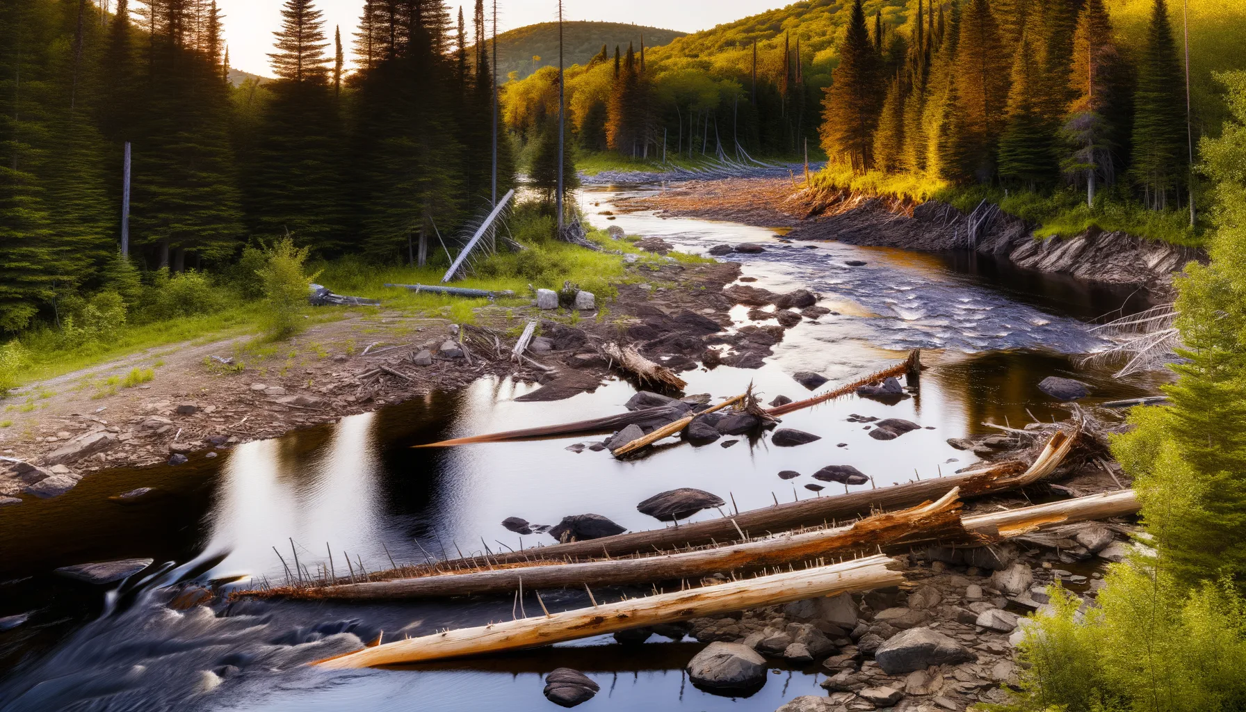 Rivière12.4 km
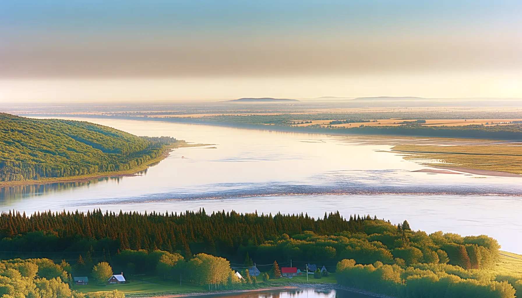 Fleuve12.7 kmFleuve13.8 kmFleuve13.9 kmRivière14.1 km
Fishing at Fleuve St-Laurent, Champlain
Fleuve · Mauricie
FleuveEasy access
Champlain
Sponsored
Partners


Description
In the heart of Mauricie, the St. Lawrence River in Champlain is a beautiful spot for fishing yellow perch and northern pike. Enjoy easy access thanks to the boat launch and on-site parking. Ice fishing is also possible, providing a great experience for enthusiasts throughout the winter.
Highlights
- 🎣SpeciesYellow perch and northern pike.
- 📍LocationSt. Lawrence River in Champlain.
- 🚤AccessEasy access with boat launch.
- ❄️SeasonIce fishing available in winter.
Onsite Equipment
Boat Launch
Parking
Réglementation officielle
Zone de pêche, exceptions et règles MFFP / Québec.ca
Nouveautés réglementaires de la zone
Modification of the length limit for muskellunge in all bodies of water in zones 7 and 8, including the St. Lawrence River: 137 cm and more.
Modification of the muskellunge fishing season in bodies of water in zones 7 and 8: winter fishing is now prohibited.
Modification of the fishing season for all species (except bass and muskellunge) in rivière Chaudière between the southeastern boundary of the route 112 right-of-way at Vallée-Jonction and barrage Sartigan at Saint-Georges de Beauce : season opens on the third Friday in May.
Extension of the moratorium on sport and commercial yellow perch fishing in lac Saint-Pierre and the St. Lawrence River between pont Laviolette and Saint-Pierre-les-Becquets, until 2027.
Exceptions réglementaires sur ce plan d'eau
- - That part of the river and its tributaries bounded to the south by the portion of Route 132 between the Richelieu (46°02'30" N., 73°07'01" W.) and Yamaska (46°00'17" N., 72°54'43" W.), north-west of the St. Lawrence River and on the east by the Yamaska River.HiverZone 7 →
- between a line joining a point 50 m downstream of Batiscan wharf on the north shore (46°30'03" N., 72°14'44" W.), and a point situated 50 m downstream of Saint-Pierre-les-Becquets wharf on the south shore (46°30'28" N., 72°12'19" W.) and the downstream side of Laviolette bridge, as well as the parts of the rivers located between highways 132 and 138.HiverZone 7 →
Source : peche.faune.gouv.qc.ca — vérifie toujours les règles officielles avant de pêcher.
Location
Other fishing spots nearby
8Fleuve9.7 kmFleuve Saint-Laurent
Batiscan
Fleuve9.7 kmFleuve St-Laurent
Batiscan
Fleuve9.8 kmFleuve Saint-Laurent
Batiscan
Rivière12.4 kmRivière Bécancour
Bécancour
Fleuve12.7 kmFleuve Saint-Laurent
Saint-Pierre-les-Becquets
Fleuve13.8 kmFleuve st-Laurent
Trois-Rivières ( Cap-de-la-Madeleine)
Fleuve13.9 kmFleuve St-Laurent
Trois-Rivières
Rivière14.1 kmRivière Gentilly
Sainte-Marie-de-Blandford