
Back to the map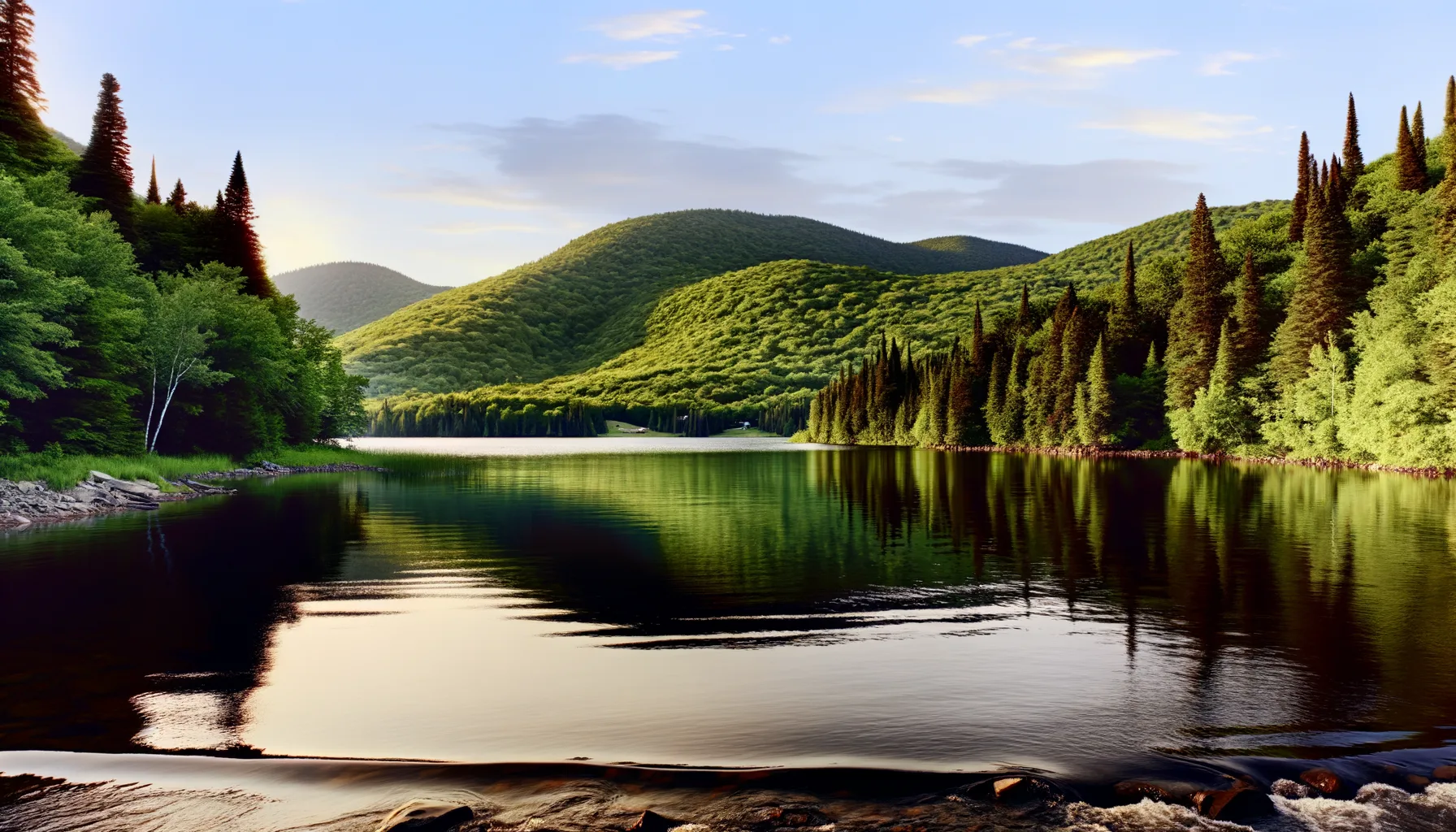 Lac5.1 kmLac6.5 kmLac6.6 km
 Rivière9.0 km
 Rivière10.2 kmLac15.2 kmRivière15.6 kmLac16.5 km
Fishing at Lac des Deux-Montagnes, Saint-Placide
Lac · Laurentides
LacAccès payant
Saint-Placide
Sponsored
Partners


Description
Lake of Two Mountains in Saint-Placide is the perfect place to catch smallmouth bass. With a boat launch and a public dock, access is easy for fishing enthusiasts. Remember that access is paid, but it's worth it for a day on the water in the Laurentians.
Highlights
- 🎣SpeciesCatch smallmouth bass here.
- 📍LocationLake of Two Mountains, Saint-Placide.
- 🚤Access/LaunchBoat launch and public dock available.
- 💰FeePaid access, but worth it.
Onsite Equipment
Boat Launch
Quai
Réglementation officielle
Zone de pêche, exceptions et règles MFFP / Québec.ca
Nouveautés réglementaires de la zone
Modification of the length limit for muskellunge in all bodies of water in zones 7 and 8, including the St. Lawrence River: 137 cm and more.
Modification of the muskellunge fishing season in bodies of water in zones 7 and 8: winter fishing is now prohibited.
Extension of the moratorium on sport and commercial yellow perch fishing in lac Saint-Pierre and the St. Lawrence River between pont Laviolette and Saint-Pierre-les-Becquets, until 2027.
Exceptions réglementaires sur ce plan d'eau
- des Outaouais (Lac des Deux Montagnes) c) That part between the electric power transmission line located approximately 4 km downstream of the Carillon Dam (45°32'19" N., 74°21'08" W.) and the downstream limits of Lake of Two Mountains, namely: (1) the Highway 40 bridge (45°25'12.92" N., 73°59'01.92" W.); (2) the upstream portion of the Rivière des Prairies (45°28'24.32" N., 73°56'25.32" W. and 45°31'17.26" N., 73°52'50.79" W.); (3) the upstream portion of the Rivière des Mille Îles (45°31'49.53" N., 73°53'15.75" W.), including the downstream section of the Rigaud River up to the Highway 40 bridge (45°29'10" N., 74°17'57" W.)RivièreNouveau 2026Zone 8 →
- des Outaouais (Lac des Deux Montagnes) g) That part made up of Fer à Cheval Bay west of the straight line that links the eastern tip of Carillon island (45°30'59" N, 74°15'05" W) to the eastern tip of Île à Paquin (45°30'43'' N, 74°15'51'' W)Rivière
Source : peche.faune.gouv.qc.ca — vérifie toujours les règles officielles avant de pêcher.
Location
Other fishing spots nearby
8Lac5.1 kmLac du Cœur
Saint-André-d'Argenteuil
Lac6.5 kmLac Saint-Joseph
Mirabel
Lac6.6 kmLac Saint-Joseph
Mirabel
Rivière9.0 kmRivière des Outaouais
Hudson
Rivière10.2 kmRivière des Outaouais
Rigaud
Lac15.2 kmLac Écho
Saint-Joseph-du-Lac
Rivière15.6 kmRivière des Outaouais
Brownsburg-Chatham
Lac16.5 kmLac de l'Achigan
Saint-Eustache