Back to the map
Fishing at Lac du Barrage, Zec Borgia
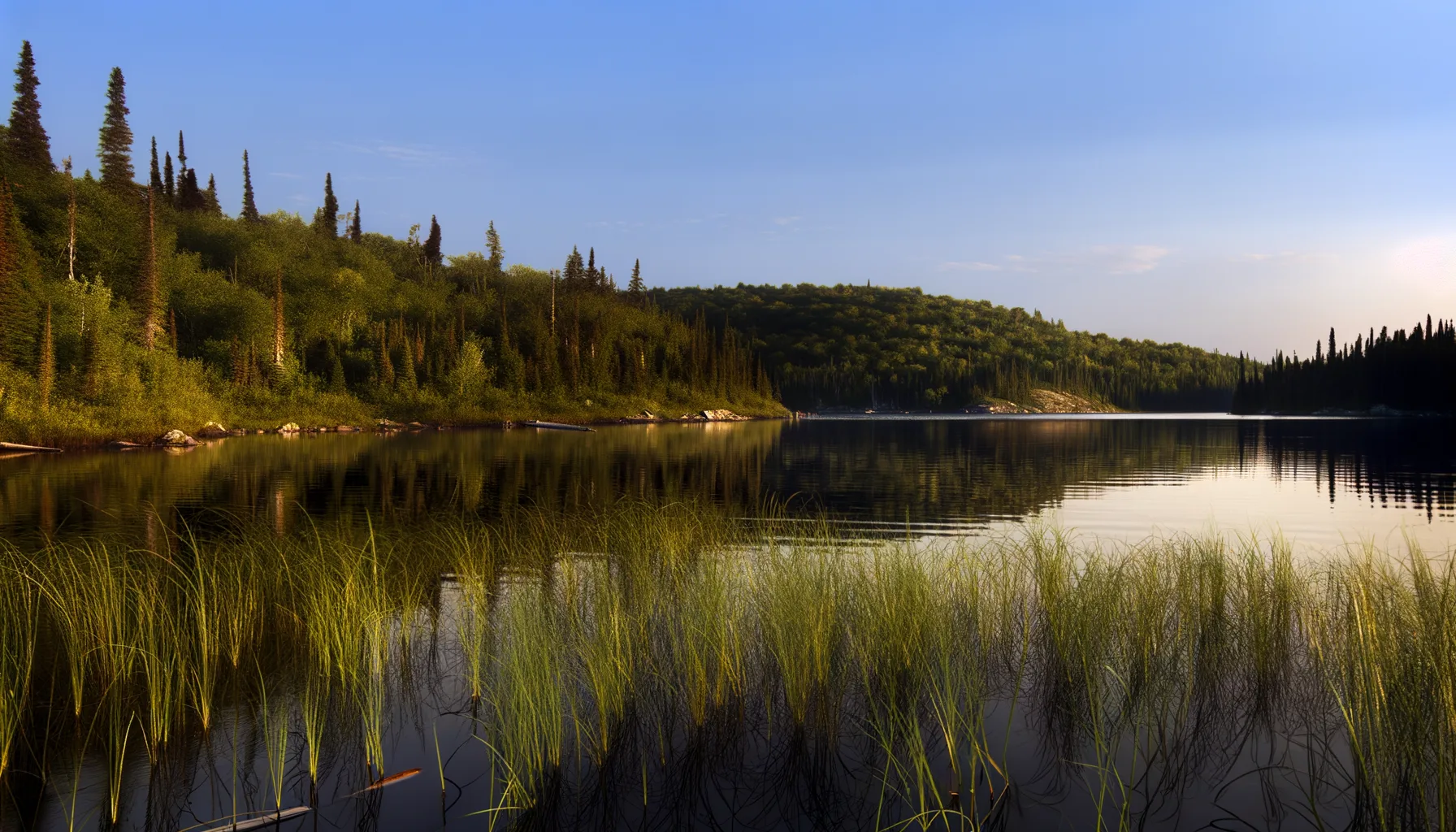
Lac · Mauricie
LacEasy access
Zec Borgia
Sponsored
Partners


Description
Lac du Barrage, located in the Zec Borgia in Mauricie, is a favored fishing spot known for its trout populations. Accessed via a boat launch, this lake is part of a controlled exploitation zone managed by a non-profit local fishing association. A modest daily access fee is required, and registration upon entry is mandatory. Anglers can also take advantage of camping or cabin options within the ZEC. Be sure to check fishing seasons and recommended techniques before your visit.
Highlights
- 🎣SpeciesAbundant trout populations.
- 📍LocationLocated in Zec Borgia, Mauricie.
- 🏕️AccommodationCamping and cabin options available.
- 🚤AccessAccess via mandatory boat launch.
- 💰FeeModest daily access fee required.
Onsite Equipment
Boat Launch
Réglementation officielle
Zone de pêche, exceptions et règles MFFP / Québec.ca
Nouveautés réglementaires de la zone
Modification of daily catch limit for char: 10 in all, with a maximum of 2 Arctic char.
Extension of the fishing season for all species in réserve Mastigouche: closes the Sunday eve of the second Monday in September.
Exceptions réglementaires sur ce plan d'eau
- des Outaouais (Lac des Deux Montagnes) c) That part between the electric power transmission line located approximately 4 km downstream of the Carillon Dam (45°32'19" N., 74°21'08" W.) and the downstream limits of Lake of Two Mountains, namely: (1) the Highway 40 bridge (45°25'12.92" N., 73°59'01.92" W.); (2) the upstream portion of the Rivière des Prairies (45°28'24.32" N., 73°56'25.32" W. and 45°31'17.26" N., 73°52'50.79" W.); (3) the upstream portion of the Rivière des Mille Îles (45°31'49.53" N., 73°53'15.75" W.), including the downstream section of the Rigaud River up to the Highway 40 bridge (45°29'10" N., 74°17'57" W.)RivièreNouveau 2026Zone 8 →
- between the Highway 138 bridge and the first pillar formed of rocks (46°33'06" N., 72°22'36" W.), located 6 km downstream of the Saint-Narcisse dam.HiverZone 7 →
- the part between the first pillar made ''of rocks (46°33'06" N., 72°22'36" W.) located 6 km downstream of the dam and Saint-Narcisse (46°33'29" N., 72°24'48" W.).HiverZone 7 →
- a) That part between a straight line connecting points 46°44' 30.325" N., 71°16' 39.533" W. and 46°44' 32.269" N., 71° 16'35.749" W. (upstream side of the pylons of the old Garneau bridge) and the upstream side of the Parc des Chutes dam in Lévis (46°42'52.2'' N., 71°16'56.8'' W.)HiverZone 7 →
- b) Between Pointe à Poulin (Golf Club Ki-8-EB, 46°23'09" N., 72° 36'42" W.) and the third transmission line (46°25'58" N., 72° 43'29" W.) located 2.1 km downstream from the La Gabelle dam.HiverZone 7 →
Source : peche.faune.gouv.qc.ca — vérifie toujours les règles officielles avant de pêcher.