
Fishing at Lac du Pont, Zec Bras-Coupé-Désert
Lac · Outaouais
Zec Bras-Coupé-Désert
Sponsored
Partners


Description
Lac du Pont, located in the ZEC Bras-Coupé-Désert in the Outaouais region, is a favored fishing spot for walleye and trout. The lake provides easy access with a well-maintained launch site. Anglers are required to pay a modest daily access fee, typically ranging from $10 to $25, and registration is mandatory upon entry. Managed by a non-profit association of local anglers, the ZEC emphasizes conservation and sustainable fishing practices. Camping and cabin options may be available depending on the ZEC's facilities.
Highlights
- 🎣SpeciesWalleye and trout.
- 🚤Access/LaunchEasy access with a well-maintained launch.
- 💰Fee/PermitDaily access fee ranges from $10 to $25.
- 🏕️AccommodationCamping and cabin options may be available.
- ⚠️ParticularityRegistration is mandatory upon entry.
Onsite Equipment
Réglementation officielle
Zone de pêche, exceptions et règles MFFP / Québec.ca
Nouveautés réglementaires de la zone
- des Mille Îles b) That part between the downstream side of CP railroad bridge upstream (45°41'33'' N, 73°37'17'' W) and the Highway 25 bridge (45°41'46.29" N., 73°39'4.27" W. and 45°41'18.03" N., 73°39'0.34" W.)Rivière
- des Prairies b) That part between the upstream side of Pie-IX bridge (45°35'57" N., 73°38'49" W.) and the Rivière des Prairies hydroelectric power station dam (45°35'19.14" N., 73°39'21.52" W.), as well as the south arm to the Moulins dam.Rivière
- des Prairies a) That part between its confluence with St. Lawrence river (45°42'27,65" N., 73°28'32,03" W.) and the upstream side of the Pie-IX bridge (45°35'57" N., 73°38'49" W.)Rivière
- des Outaouais (Lac des Deux Montagnes) d) That part between a straight line situated 180 m upstream from the CN railroad bridge in Dorion (45°23'17,73" N, 74°00'5,13" W) and the southern tip of the Île aux Pins (45°22'35.77" N, 74°00'6.9" W)RivièreNouveau 2026Zone 8 →
- between a line joining a point 50 m downstream of Batiscan wharf on the north shore (46°30'03" N., 72°14'44" W.), and a point situated 50 m downstream of Saint-Pierre-les-Becquets wharf on the south shore (46°30'28" N., 72°12'19" W.) and the downstream side of Laviolette bridge, as well as the parts of the rivers located between highways 132 and 138.HiverZone 7 →
Source : peche.faune.gouv.qc.ca — vérifie toujours les règles officielles avant de pêcher.
Location
Other fishing spots nearby
8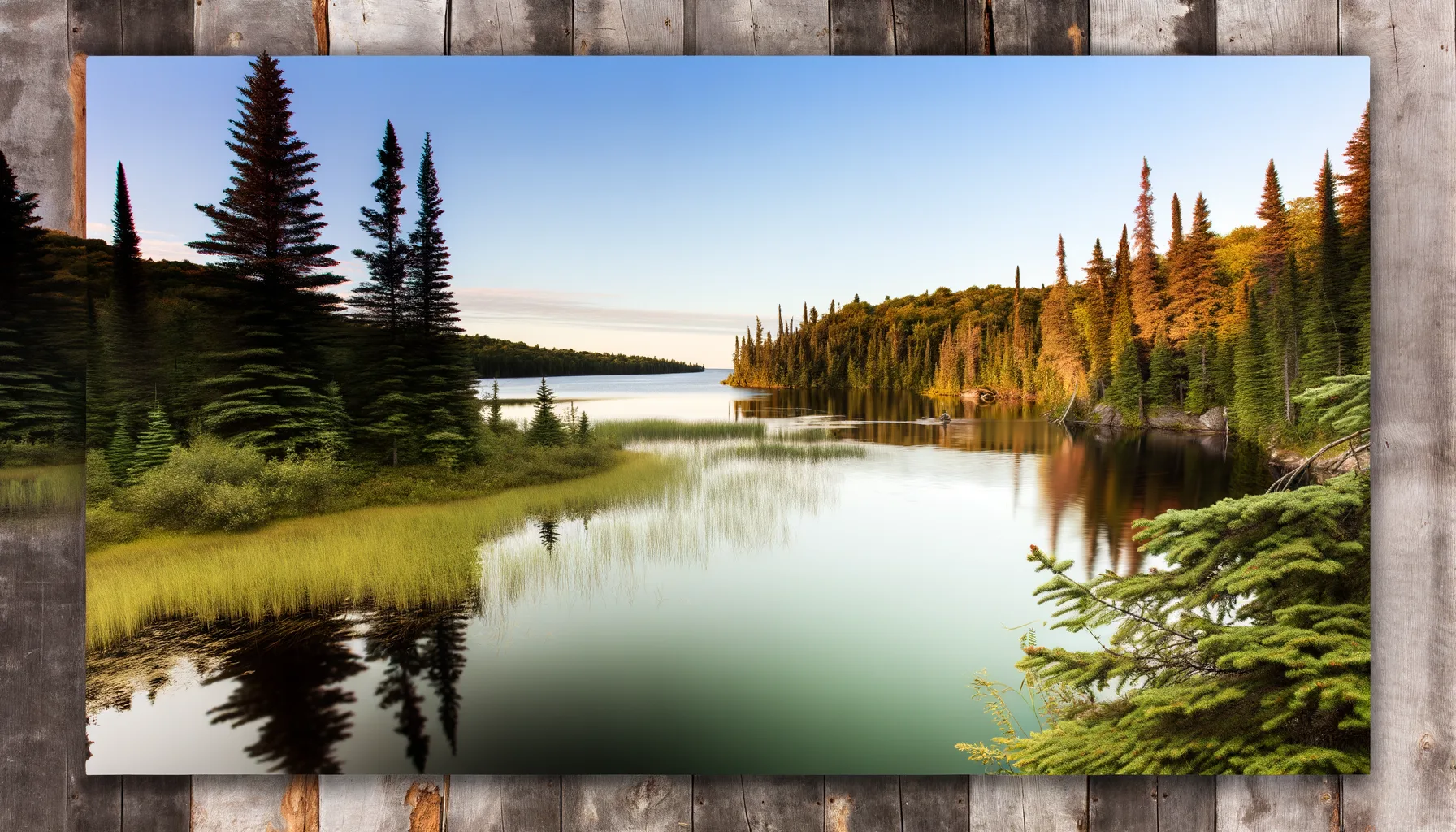 Lac0.2 km
Lac du Pont
Zec Bras-Coupé-Désert
Lac1.6 kmLac Kathleen
Zec Bras-Coupé-Désert
Lac3.3 kmLac Rond
Zec Bras-Coupé-Désert
Lac3.3 kmLac Rond
Zec Bras-Coupé-Désert
Lac3.4 kmLac de la Sérénade
Zec Bras-Coupé-Désert
Lac3.4 kmLac du Maine
Zec Bras-Coupé-Désert
Lac3.7 kmLac MacPherson
Zec Bras-Coupé-Désert
Lac4.6 kmLac Rond
Zec Bras-Coupé-Désert