
Back to the map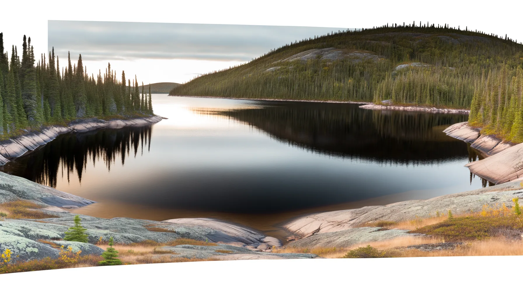 Lac0.0 km
 Rivière2.2 kmLac2.6 kmLac3.0 kmLac3.2 kmLac3.7 kmLac4.0 kmLac4.2 km
Fishing at Lac du Pont, Zec Forestville
Lac · Côte-Nord
LacEasy access
Zec Forestville
Sponsored
Partners


Description
Lac du Pont, located in the Forestville ZEC in Côte-Nord, is a popular fishing spot known for its trout populations. Access is via a well-maintained boat launch, and a modest daily access fee is required to enjoy this controlled exploitation zone. Registration at the entrance is mandatory. Anglers may also consider camping or chalet rentals, depending on availability. The ZEC promotes sustainable fishing practices and conservation of aquatic resources.
Highlights
- 🎣SpeciesAbundant trout populations.
- 🚤Access/LaunchAccess via a well-maintained boat launch.
- 💰Fee/PermitModest daily access fee required.
- 🏕️AccommodationCamping and chalet rentals available.
- ⚠️ParticularityRegistration at the entrance is mandatory.
- 💡AdviceSustainable fishing practices encouraged.
Onsite Equipment
Boat Launch
Réglementation officielle
Zone de pêche, exceptions et règles MFFP / Québec.ca
Nouveautés réglementaires de la zone
Modification of daily catch limit for char: 20 in all, with a maximum of 2 Arctic char.
Modification of the fishing season for pike in various bodies of water: closes on November 30.
Modification of the fishing season for all species in lac à Tabac: from April 16 to the Sunday eve the second Monday in September.
Modification of the fishing season for all species in ZECs D¿Iberville and Forestville: harmonization with the zone 18 seasons.
Exceptions réglementaires sur ce plan d'eau
- des Mille Îles b) That part between the downstream side of CP railroad bridge upstream (45°41'33'' N, 73°37'17'' W) and the Highway 25 bridge (45°41'46.29" N., 73°39'4.27" W. and 45°41'18.03" N., 73°39'0.34" W.)Rivière
- des Prairies b) That part between the upstream side of Pie-IX bridge (45°35'57" N., 73°38'49" W.) and the Rivière des Prairies hydroelectric power station dam (45°35'19.14" N., 73°39'21.52" W.), as well as the south arm to the Moulins dam.Rivière
- des Prairies a) That part between its confluence with St. Lawrence river (45°42'27,65" N., 73°28'32,03" W.) and the upstream side of the Pie-IX bridge (45°35'57" N., 73°38'49" W.)Rivière
- des Outaouais (Lac des Deux Montagnes) d) That part between a straight line situated 180 m upstream from the CN railroad bridge in Dorion (45°23'17,73" N, 74°00'5,13" W) and the southern tip of the Île aux Pins (45°22'35.77" N, 74°00'6.9" W)RivièreNouveau 2026Zone 8 →
- between a line joining a point 50 m downstream of Batiscan wharf on the north shore (46°30'03" N., 72°14'44" W.), and a point situated 50 m downstream of Saint-Pierre-les-Becquets wharf on the south shore (46°30'28" N., 72°12'19" W.) and the downstream side of Laviolette bridge, as well as the parts of the rivers located between highways 132 and 138.HiverZone 7 →
Source : peche.faune.gouv.qc.ca — vérifie toujours les règles officielles avant de pêcher.
Location
Other fishing spots nearby
8Lac0.0 kmLac du Pont
Zec Forestville
Rivière2.2 kmRivière Sault-aux-Cochons
Zec Forestville
Lac2.6 kmLac du Président
Zec Forestville
Lac3.0 kmlac des Passes I
Zec Forestville
Lac3.2 kmLac Elvis
Zec Forestville
Lac3.7 kmLac Adèle
Zec Forestville
Lac4.0 kmLacs des Passes
Zec Forestville
Lac4.2 kmLac Nazaire
Zec Forestville