Back to the map
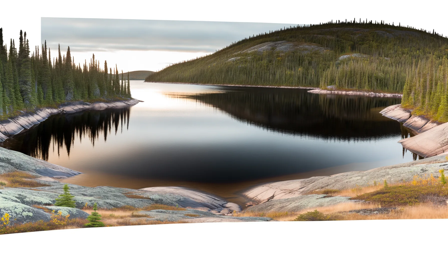
Fishing at Lac Limite, Zec Varin
Lac · Côte-Nord
LacEasy access
Zec Varin
Sponsored
Partners


Description
Lac Limite, located in the Zec Varin in the Côte-Nord region, is a well-known fishing spot for trout enthusiasts. Access is provided via a boat launch on site, with a modest daily access fee ranging from $10 to $25. Registration upon entry is mandatory. Managed by a non-profit association of local anglers, the Zec also offers camping and cabin options. Anglers are encouraged to engage in sustainable fishing practices and adhere to conservation guidelines.
Highlights
- 🎣SpeciesAbundant trout populations.
- 🚤Access/LaunchAccess via on-site boat launch.
- 💰Fee/PermitDaily access fee ranges from $10 to $25.
- 🏕️AccommodationCamping and cabin options available.
- ⚠️ParticularityRegistration upon entry is mandatory.
- 💡AdviceEngage in sustainable fishing practices.
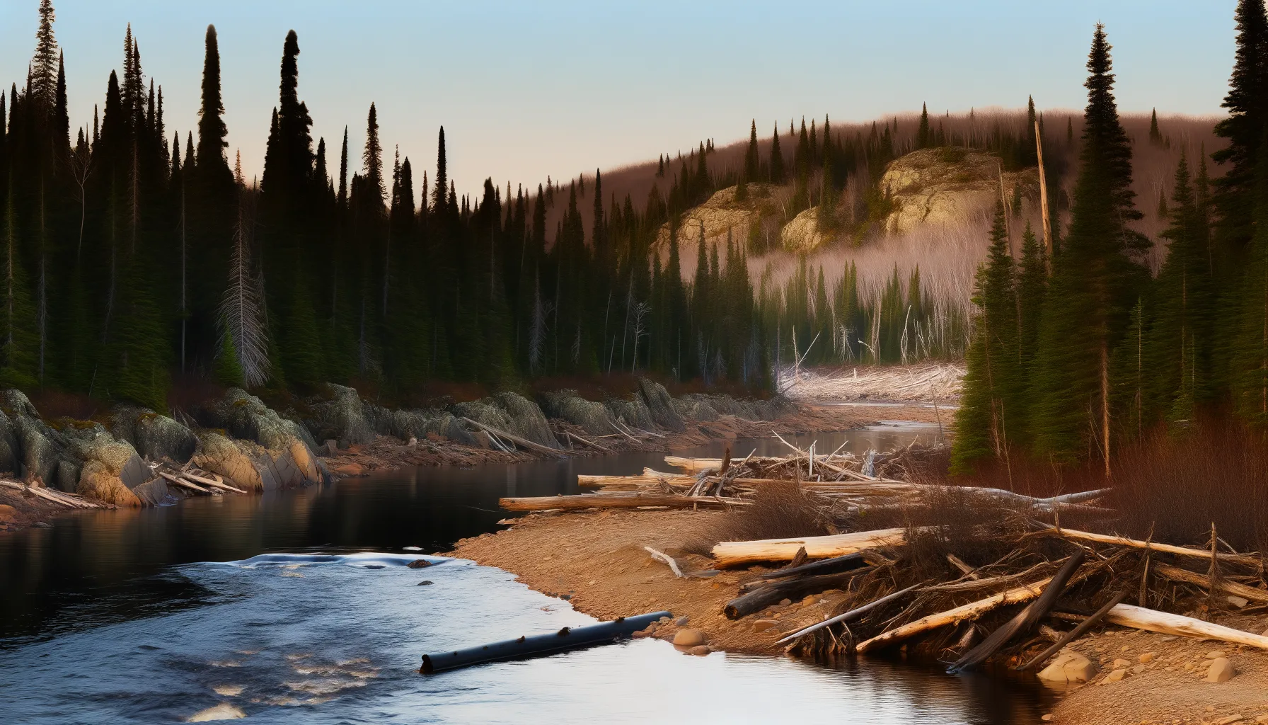
Onsite Equipment
Boat Launch
Réglementation officielle
Zone de pêche, exceptions et règles MFFP / Québec.ca
Nouveautés réglementaires de la zone
Modification of daily catch limit for char: 20 in all, with a maximum of 2 Arctic char.
Modification of the fishing season for pike in various bodies of water: closes on November 30.
Modification of the fishing season for all species in lac à Tabac: from April 16 to the Sunday eve the second Monday in September.
Modification of the fishing season for all species in ZECs D¿Iberville and Forestville: harmonization with the zone 18 seasons.
Exceptions réglementaires sur ce plan d'eau
- des Outaouais (Lac des Deux Montagnes) c) That part between the electric power transmission line located approximately 4 km downstream of the Carillon Dam (45°32'19" N., 74°21'08" W.) and the downstream limits of Lake of Two Mountains, namely: (1) the Highway 40 bridge (45°25'12.92" N., 73°59'01.92" W.); (2) the upstream portion of the Rivière des Prairies (45°28'24.32" N., 73°56'25.32" W. and 45°31'17.26" N., 73°52'50.79" W.); (3) the upstream portion of the Rivière des Mille Îles (45°31'49.53" N., 73°53'15.75" W.), including the downstream section of the Rigaud River up to the Highway 40 bridge (45°29'10" N., 74°17'57" W.)RivièreNouveau 2026Zone 8 →
- between the southern limit of the zone 29 (50°00'00" N., 71°56'43" W.) and the lac Machisque.HiverZone 29 →
- aux Outardes-3 (Katshenukamat Lake) (49°35'03" N., 68°45'56" W.)Réservoir
Source : peche.faune.gouv.qc.ca — vérifie toujours les règles officielles avant de pêcher.