
Fishing at Lac Marguerite, Zec Batiscan-Neilson
Lac · Capitale-Nationale
Zec Batiscan-Neilson
Sponsored
Partners


Description
Lac Marguerite, located in the Zec Batiscan-Neilson in the Capitale-Nationale region, is a popular spot for fishing pike and walleye. Access is provided through a boat launch on-site, and a modest daily access fee ranging from $10 to $25 is required. It is essential to register upon entry to enjoy the camping facilities or cabins available. This ZEC is managed by a non-profit association of local anglers, dedicated to conservation and sustainable fishing practices.
Highlights
- 🎣SpeciesPike and walleye available for fishing.
- 🚤Access/LaunchBoat launch available on-site.
- 💰Fee/PermitDaily access fee ranges from $10 to $25.
- 🏕️AccommodationCamping facilities and cabins available.
- ⚠️ParticularityRegistration required upon entry.
Onsite Equipment
Réglementation officielle
Zone de pêche, exceptions et règles MFFP / Québec.ca
Nouveautés réglementaires de la zone
- Sainte-MargueriteRivièreSaumonZone 28 →
- Sainte-Marguerite Nord-EstRivièreSaumonZone 28 →
- Bras des Murailles (Sainte-Marguerite Nord-Ouest)RivièreSaumonZone 28 →
- - That part between the downstream end of Île Marguerite (the first island upstream of the Alonzo-Wright Bridge, a straight line between the point 45°29'31" N, 75°45'07" W and the point 45°29'26" N, 75°45'10" W), and the first island downstream of this bridge (i.e., a line between the point 45°28'56" N, 75°44'29" W and the point 45°28'50" N, 75°44'44" W) (Municipalities of Chelsea and Gatineau)HiverZone 10 →
Source : peche.faune.gouv.qc.ca — vérifie toujours les règles officielles avant de pêcher.
Location
Other fishing spots nearby
8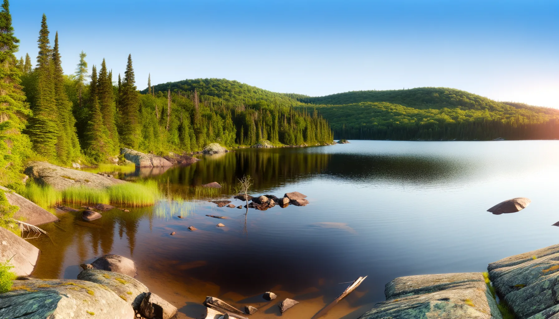 Lac0.3 km
Lac Philo
Zec Batiscan-Neilson
Lac0.6 kmLac Aaron
Zec Batiscan-Neilson
Lac4.9 kmLac Neilson
Zec Batiscan-Neilson
Lac6.8 kmLac Le Gardeur
Zec Batiscan-Neilson
Lac8.5 kmLac Nosny
Zec Batiscan-Neilson
Lac10.9 kmLac du Club
Zec Batiscan-Neilson
Lac11.5 kmLac Écarté
Zec Rivière-Blanche
Lac11.9 kmLac Draper
Zec Rivière-Blanche