Back to the map
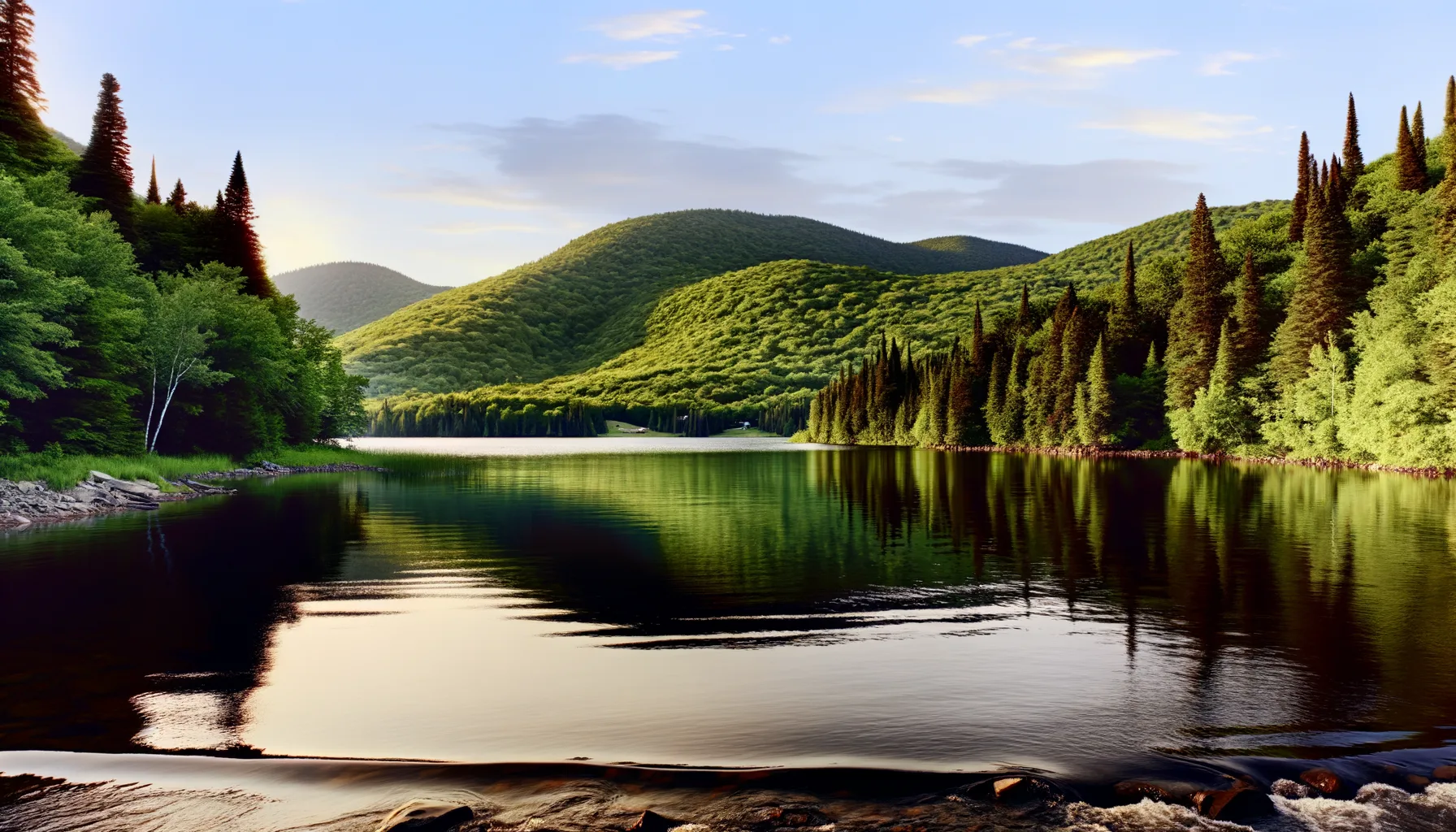
Fishing at Lac Marguerite, Zec Petawaga
Lac · Laurentides
LacEasy access
Zec Petawaga
Sponsored
Partners


Description
Lake Marguerite, located in the Zec Petawaga in the Laurentians region, is a favored spot for fishing, particularly for trout. Access to the lake is facilitated by a launch ramp, and a modest daily access fee ranging from $10 to $25 is required for anglers. Registration is mandatory upon entry, and the ZEC offers camping facilities as well as cabins. This site is part of a controlled exploitation zone, managed by a local non-profit fishing association that focuses on conservation and sustainable hunting and fishing practices.
Highlights
- 🎣SpeciesTrout, a favored fishing spot.
- 🚤Access/LaunchAccess via a launch ramp.
- 💰Fee/PermitDaily access fee of $10 to $25.
- 🏕️AccommodationCamping facilities and cabins available.
- ⚠️ParticularityControlled exploitation zone for conservation.
Onsite Equipment
Boat Launch
Réglementation officielle
Zone de pêche, exceptions et règles MFFP / Québec.ca
Nouveautés réglementaires de la zone
Modification of daily catch limit for char: 10 in all, with a maximum of 2 Arctic char.
Implementation of a length limit for walleye in ZEC Petawaga: from 37 to 53 cm inclusively.
Reduction of the daily catch limit for char in ZEC Petawaga: 7 in all, with a maximum of 2 Arctic char.
Modification of the bass, pike and walleye fishing season in ZEC Petawaga: opens on the third Friday in June.
Exceptions réglementaires sur ce plan d'eau
- Sainte-MargueriteRivièreSaumonZone 28 →
- Sainte-Marguerite Nord-EstRivièreSaumonZone 28 →
- Bras des Murailles (Sainte-Marguerite Nord-Ouest)RivièreSaumonZone 28 →
- - That part between the downstream end of Île Marguerite (the first island upstream of the Alonzo-Wright Bridge, a straight line between the point 45°29'31" N, 75°45'07" W and the point 45°29'26" N, 75°45'10" W), and the first island downstream of this bridge (i.e., a line between the point 45°28'56" N, 75°44'29" W and the point 45°28'50" N, 75°44'44" W) (Municipalities of Chelsea and Gatineau)HiverZone 10 →
Source : peche.faune.gouv.qc.ca — vérifie toujours les règles officielles avant de pêcher.