Back to the map
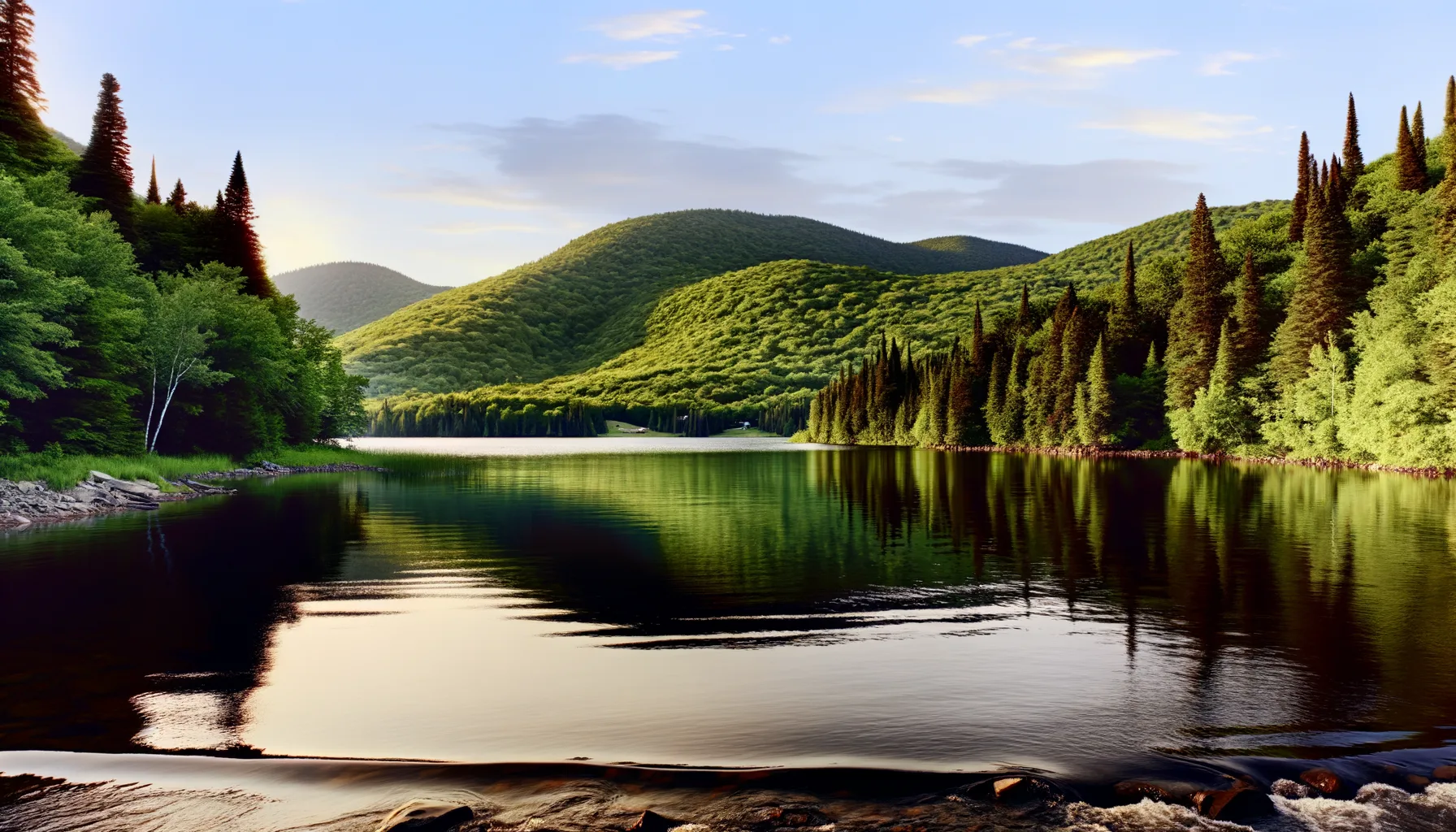
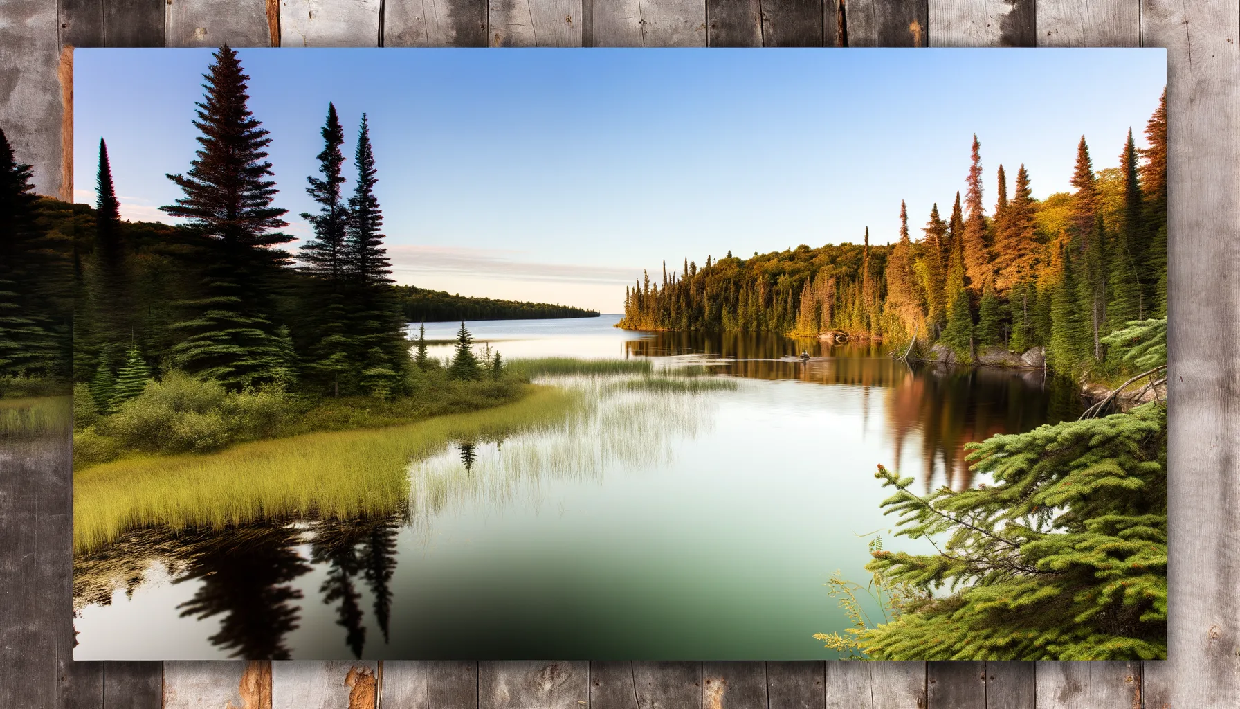
Fishing at Lac Rémi, Amherst
Lac · Laurentides
LacQuai public
Amherst
Sponsored
Partners


Description
Lake Rémi in Amherst awaits you for a relaxing day of fishing. With its lake trout and smallmouth bass, this lake offers unforgettable moments for fishing enthusiasts. Access is easy via a public dock, perfect for casting your line and enjoying the surrounding nature.
Highlights
- 🎣SpeciesLake trout and smallmouth bass.
- 📍LocationLake Rémi in Amherst.
- 🚤AccessEasy access via a public dock.
Onsite Equipment
Quai
Réglementation officielle
Zone de pêche, exceptions et règles MFFP / Québec.ca
Nouveautés réglementaires de la zone
Modification of daily catch limit for char: 10 in all, with a maximum of 2 Arctic char.
Modification of the bass fishing season in lac Xavier: opens on the fourth Friday in April.
Exceptions réglementaires sur ce plan d'eau
- des Outaouais (Lac des Deux Montagnes) g) That part made up of Fer à Cheval Bay west of the straight line that links the eastern tip of Carillon island (45°30'59" N, 74°15'05" W) to the eastern tip of Île à Paquin (45°30'43'' N, 74°15'51'' W)Rivière
- Barrière (canton Rémigny)Rivière
- Triaud (50°04'00" N., 78°48'27" W.) Canton JérémieHiverZone 22 →
- - That part between the downstream end of Île Marguerite (the first island upstream of the Alonzo-Wright Bridge, a straight line between the point 45°29'31" N, 75°45'07" W and the point 45°29'26" N, 75°45'10" W), and the first island downstream of this bridge (i.e., a line between the point 45°28'56" N, 75°44'29" W and the point 45°28'50" N, 75°44'44" W) (Municipalities of Chelsea and Gatineau)HiverZone 10 →
- - That part between the point 45°55'17'' N., 71°47'23'' W., 2.6 km downstream from the rang Leclerc bridge and the point 45°54'17'' N., 71°45'24'' W., 2.6 km upstream from the Rang Leclerc bridge, corresponding to sector 3 of Pêche Nicolet (Saint-Rémi-de-Tingwick and Chesterville)HiverZone 7 →
Source : peche.faune.gouv.qc.ca — vérifie toujours les règles officielles avant de pêcher.