
Fishing at Lotbinière (repère)
Fleuve · Chaudière-Appalaches
Sponsored
Partners


Description
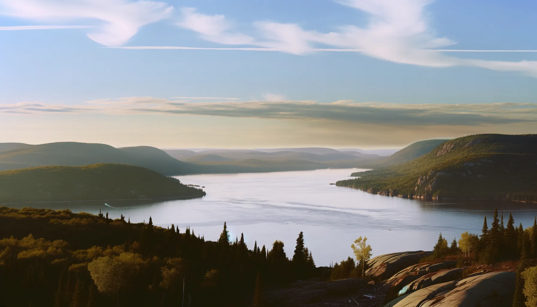
The Lotbinière River, located in the Chaudière-Appalaches region, is a popular spot for fishing enthusiasts. Anglers can expect to catch various species, including pike and walleye. For those interested, the Domaine de Pêche Ste-Agathe de Lotbinière provides camping facilities and easy access to fishing areas. It is advisable to make reservations in advance, especially during the summer months, to secure your spot. The surrounding scenery enhances the experience, making every fishing outing memorable.
Highlights
- 🎣SpeciesPike and walleye available.
- 📍LocationLotbinière River, Chaudière-Appalaches.
- 🏕️AccommodationCamping at Domaine de Pêche Ste-Agathe.
- 📅SeasonReservations recommended in summer.
- 🌊Water bodyRiver suitable for fishing.
Species of Fish
Recommended Techniques
Onsite Equipment
Réglementation officielle
Zone de pêche, exceptions et règles MFFP / Québec.ca
Nouveautés réglementaires de la zone
- between the downstream side of Pierre-Laporte bridge and a line joining a point situated 50 m downstream of Batiscan wharf on the north shore (46°30'03" N., 72°14'44" W.), and a point situated 50 m downstream of Saint-Pierre-les-Becquets wharf on the south shore (46°30'28" N., 72°12'19" W.), as well as the parts of rivers situated between highways 132 and 138. * Note : The following rivers are part of fleuve Saint-Laurent: Bélisle and Grand Bras, downstream of the Highway 138 bridge; Cap Rouge, downstream of the Rue Saint-Félix bridge; Jacques-Cartier and Portneuf, downstream of the CN bridge.HiverZone 7 →
Source : peche.faune.gouv.qc.ca — vérifie toujours les règles officielles avant de pêcher.
Location
Other fishing spots nearby
8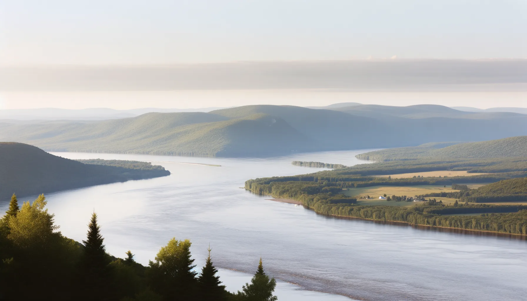 Fleuve0.5 km
Fleuve St-Laurent
Lotbinière
 Fleuve2.5 km
Fleuve Saint-Laurent
Deschambault-Grondines
Fleuve3.4 kmFleuve Saint-Laurent
Deschambault-Grondines
Fleuve3.9 kmFleuve Saint-Laurent
Deschambault-Grondines
Fleuve6.6 kmFleuve St-Laurent
Leclercville
Fleuve7.0 kmFleuve Saint-Laurent
Leclercville
Fleuve8.4 kmFleuve Saint-Laurent
Deschambault-Grondines
Fleuve8.7 kmFleuve Saint-Laurent
Portneuf