
Back to the map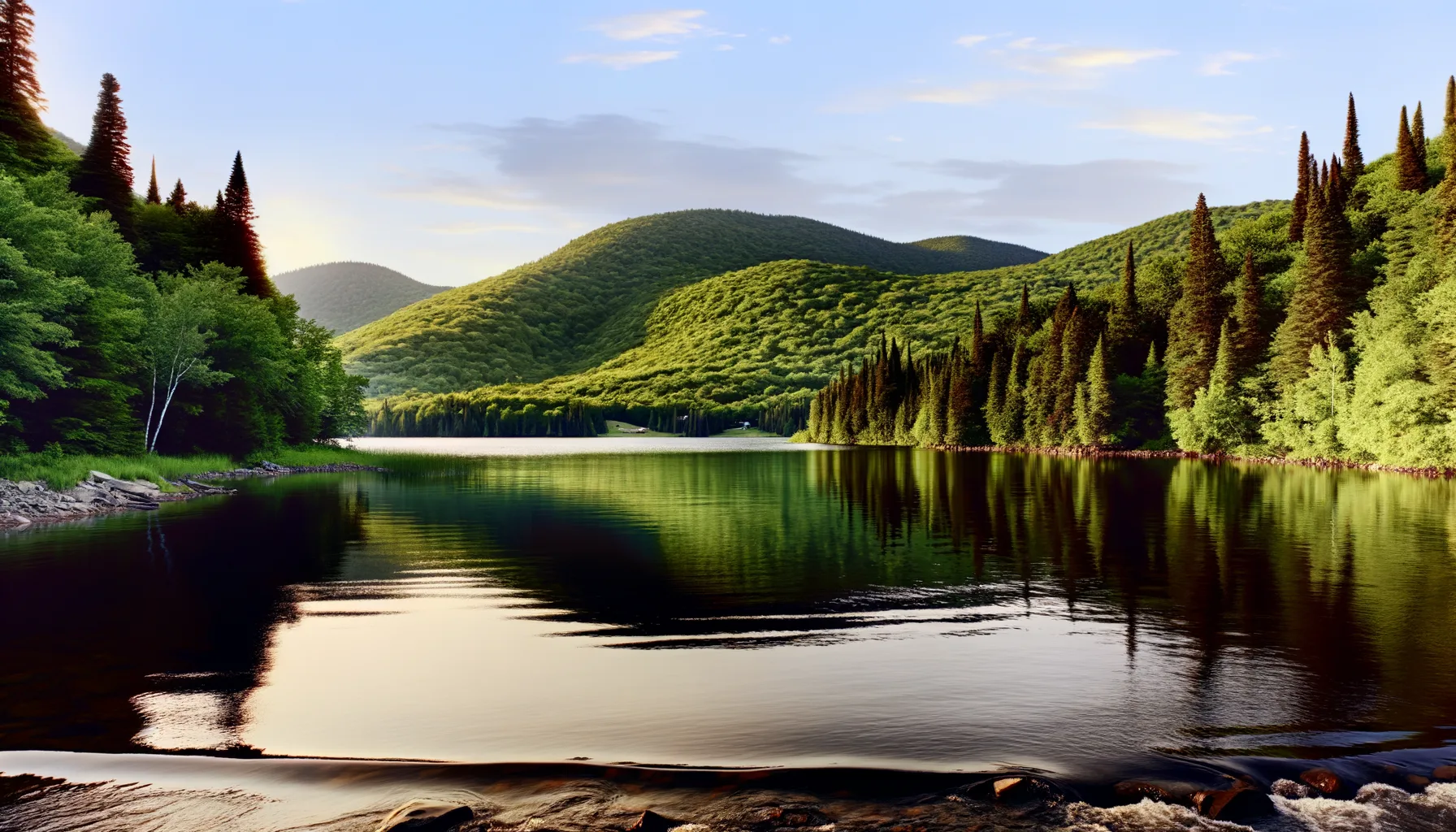 Lac5.8 kmLac5.8 kmLac5.8 km
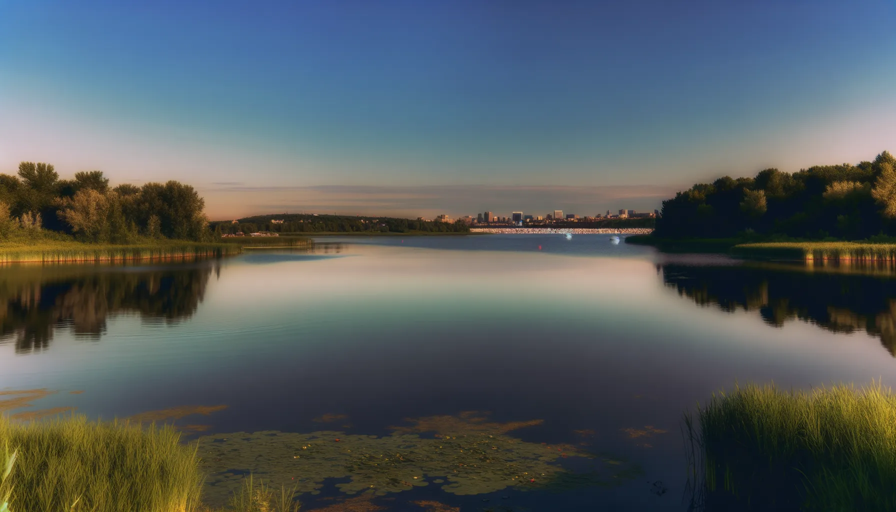 Lac5.8 kmLac5.8 kmLac7.0 kmLac7.0 kmLac7.1 km
Fishing at Rivière des Prairies
Rivière · Montréal
RivièreQuai public
Sponsored
Partners


Description
The Rivière des Prairies in Montreal is a perfect spot for catching smallmouth bass and yellow perch. With convenient parking and a boat launch, access is easy for all fishing enthusiasts. Enjoy this natural setting while testing your skills by the water.
Highlights
- 🎣SpeciesSmallmouth bass and yellow perch.
- 📍LocationRivière des Prairies, Montreal.
- 🚤Access/LaunchEasy access with parking and boat launch.
Onsite Equipment
Boat Launch
Parking
Quai
Réglementation officielle
Zone de pêche, exceptions et règles MFFP / Québec.ca
Nouveautés réglementaires de la zone
Modification of the length limit for muskellunge in all bodies of water in zones 7 and 8, including the St. Lawrence River: 137 cm and more.
Modification of the muskellunge fishing season in bodies of water in zones 7 and 8: winter fishing is now prohibited.
Extension of the moratorium on sport and commercial yellow perch fishing in lac Saint-Pierre and the St. Lawrence River between pont Laviolette and Saint-Pierre-les-Becquets, until 2027.
Exceptions réglementaires sur ce plan d'eau
- des PrairiesRivière
- des Prairies b) That part between the upstream side of Pie-IX bridge (45°35'57" N., 73°38'49" W.) and the Rivière des Prairies hydroelectric power station dam (45°35'19.14" N., 73°39'21.52" W.), as well as the south arm to the Moulins dam.Rivière
- des Prairies a) That part between its confluence with St. Lawrence river (45°42'27,65" N., 73°28'32,03" W.) and the upstream side of the Pie-IX bridge (45°35'57" N., 73°38'49" W.)Rivière
- des Outaouais (Lac des Deux Montagnes) c) That part between the electric power transmission line located approximately 4 km downstream of the Carillon Dam (45°32'19" N., 74°21'08" W.) and the downstream limits of Lake of Two Mountains, namely: (1) the Highway 40 bridge (45°25'12.92" N., 73°59'01.92" W.); (2) the upstream portion of the Rivière des Prairies (45°28'24.32" N., 73°56'25.32" W. and 45°31'17.26" N., 73°52'50.79" W.); (3) the upstream portion of the Rivière des Mille Îles (45°31'49.53" N., 73°53'15.75" W.), including the downstream section of the Rigaud River up to the Highway 40 bridge (45°29'10" N., 74°17'57" W.)RivièreNouveau 2026Zone 8 →
- des Prairies c) That part between the Rivière des Prairies hydroelectric generating station dam (45°35'19.14" N, 73°39'21.52" W) and the Moulins dam and its confluence with Ottawa River (Lac des Deux Montagnes) (45°28'24.32" N., 73°56'25.32" W. and 45°31'17.26" N., 73°52'50.79" W.)RivièreNouveau 2026Zone 8 →
Source : peche.faune.gouv.qc.ca — vérifie toujours les règles officielles avant de pêcher.
Location
Other fishing spots nearby
8Lac5.8 kmLac des Deux-Montagnes
Deux-Montagnes
Lac5.8 kmLac des Deux-Montagnes
Sainte-Marthe-sur-le-Lac
Lac5.8 kmLac des Deux-Montagnes
Sainte-Marthe-sur-le-Lac
Lac5.8 kmParc-nature du Cap-Saint-Jacques
Lac5.8 kmLac des Deux-Montagnes
Pointe-Calumet
Lac7.0 kmLac St-Louis
Sainte-Anne-de-Bellevue
Lac7.0 kmLac St-louis
Sainte-Anne-de-Bellevue
Lac7.1 kmLac St-Louis
Sainte-Anne-de-Bellevue