
Back to the map Rivière0.7 km
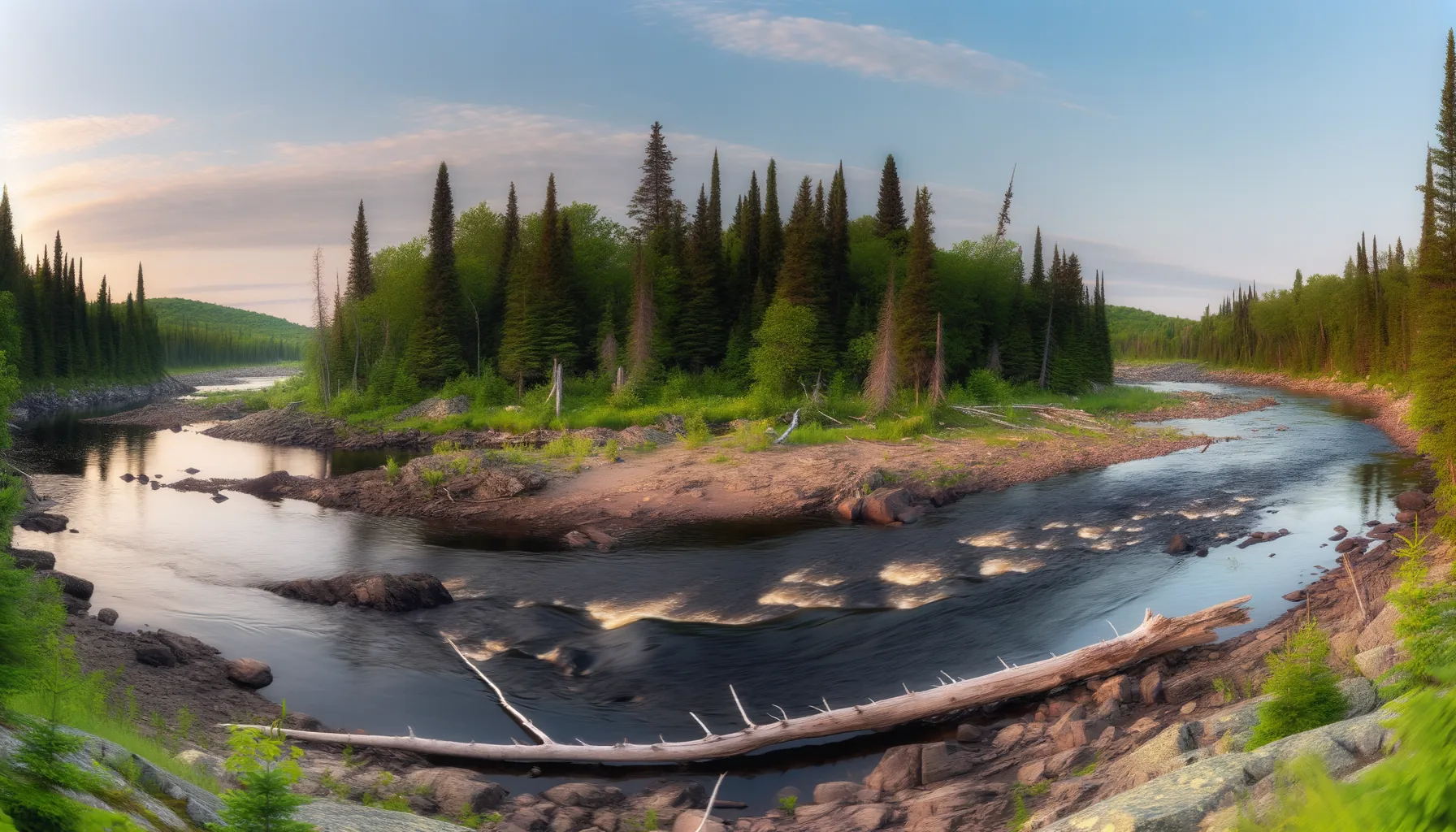 Rivière3.4 km
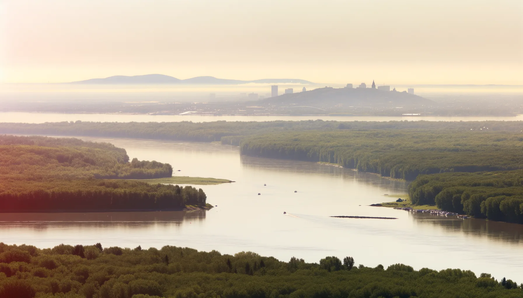 Fleuve4.0 kmFleuve4.4 km
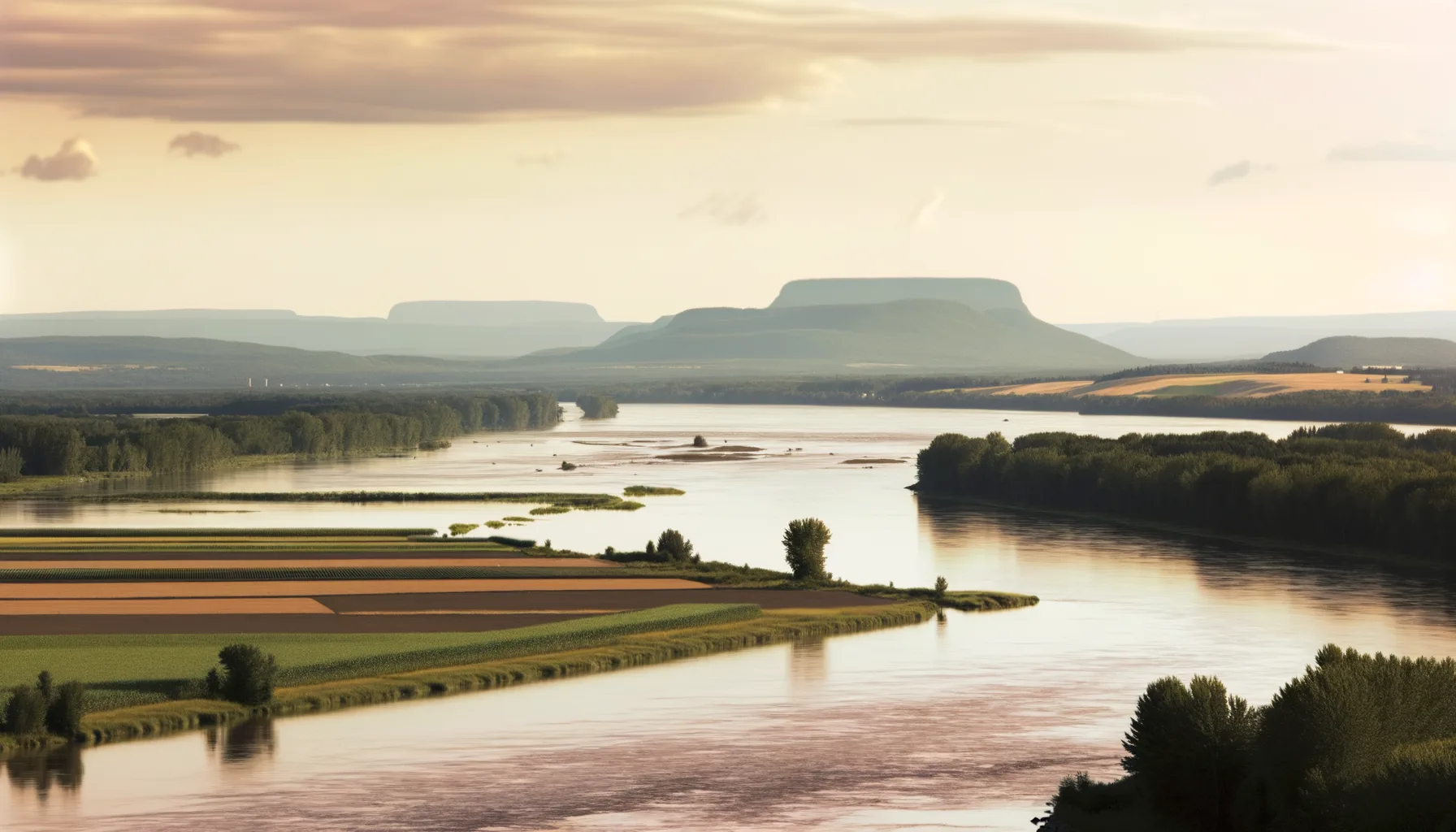 Fleuve7.8 km
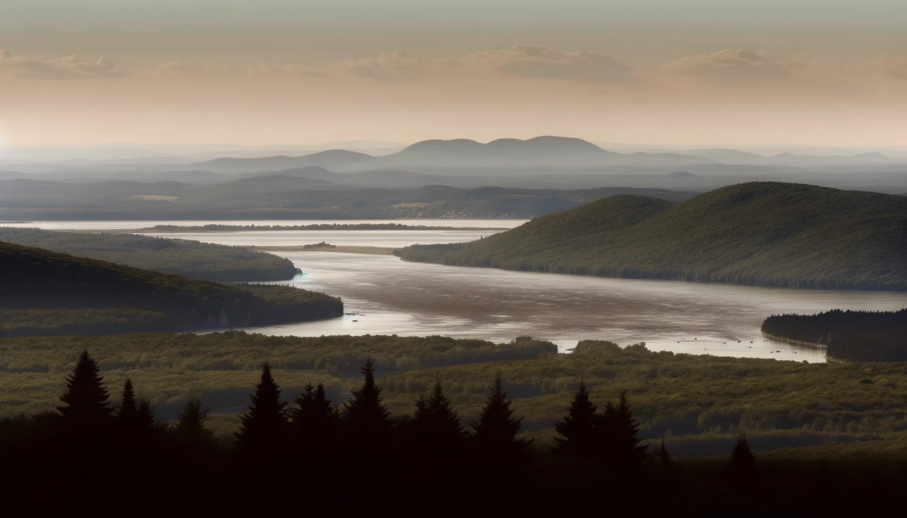 Fleuve8.9 kmFleuve9.0 kmFleuve9.8 km
Fishing at Rivière des Prairies, Montréal
Rivière · Montréal
RivièreEasy access
Montréal
Sponsored
Partners


Description
The Rivière des Prairies in Montreal offers free access to all fishing enthusiasts. With the opportunity to catch large pike and smallmouth bass, it's an ideal place to spend time on the water. Enjoy nearby parking to make your fishing day easier.
Highlights
- 🎣SpeciesPike and smallmouth bass.
- 📍LocationRivière des Prairies, Montreal.
- 🚤AccessFree access for all anglers.
- 🅿️ParkingNearby parking available.
Onsite Equipment
Parking
Réglementation officielle
Zone de pêche, exceptions et règles MFFP / Québec.ca
Nouveautés réglementaires de la zone
Modification of the length limit for muskellunge in all bodies of water in zones 7 and 8, including the St. Lawrence River: 137 cm and more.
Modification of the muskellunge fishing season in bodies of water in zones 7 and 8: winter fishing is now prohibited.
Extension of the moratorium on sport and commercial yellow perch fishing in lac Saint-Pierre and the St. Lawrence River between pont Laviolette and Saint-Pierre-les-Becquets, until 2027.
Exceptions réglementaires sur ce plan d'eau
- des PrairiesRivière
- des Prairies b) That part between the upstream side of Pie-IX bridge (45°35'57" N., 73°38'49" W.) and the Rivière des Prairies hydroelectric power station dam (45°35'19.14" N., 73°39'21.52" W.), as well as the south arm to the Moulins dam.Rivière
- des Prairies a) That part between its confluence with St. Lawrence river (45°42'27,65" N., 73°28'32,03" W.) and the upstream side of the Pie-IX bridge (45°35'57" N., 73°38'49" W.)Rivière
- des Outaouais (Lac des Deux Montagnes) c) That part between the electric power transmission line located approximately 4 km downstream of the Carillon Dam (45°32'19" N., 74°21'08" W.) and the downstream limits of Lake of Two Mountains, namely: (1) the Highway 40 bridge (45°25'12.92" N., 73°59'01.92" W.); (2) the upstream portion of the Rivière des Prairies (45°28'24.32" N., 73°56'25.32" W. and 45°31'17.26" N., 73°52'50.79" W.); (3) the upstream portion of the Rivière des Mille Îles (45°31'49.53" N., 73°53'15.75" W.), including the downstream section of the Rigaud River up to the Highway 40 bridge (45°29'10" N., 74°17'57" W.)RivièreNouveau 2026Zone 8 →
- des Prairies c) That part between the Rivière des Prairies hydroelectric generating station dam (45°35'19.14" N, 73°39'21.52" W) and the Moulins dam and its confluence with Ottawa River (Lac des Deux Montagnes) (45°28'24.32" N., 73°56'25.32" W. and 45°31'17.26" N., 73°52'50.79" W.)RivièreNouveau 2026Zone 8 →
Source : peche.faune.gouv.qc.ca — vérifie toujours les règles officielles avant de pêcher.
Location
Other fishing spots nearby
8Rivière0.7 kmRivière des Prairies
Montréal
Rivière3.4 kmRivière des Milles Iles
Laval
Fleuve4.0 kmFleuve St-Laurent
Pointe-aux-Trembles
Fleuve4.4 kmFleuve Saint-Laurent
Montréal
Fleuve7.8 kmFleuve Saint-Laurent
Varennes
Fleuve8.9 kmFleuve St-Laurent
Repentigny
Fleuve9.0 kmFleuve Saint-Laurent
Montréal
Fleuve9.8 kmFleuve Saint-Laurent
Boucherville