
Back to the map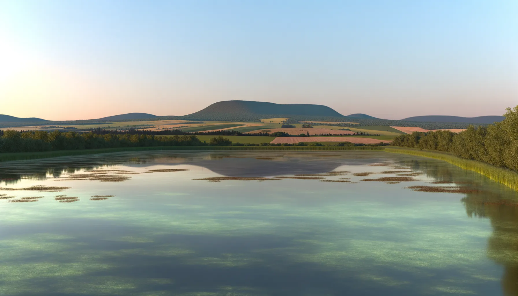 Lac0.4 kmLac1.3 km
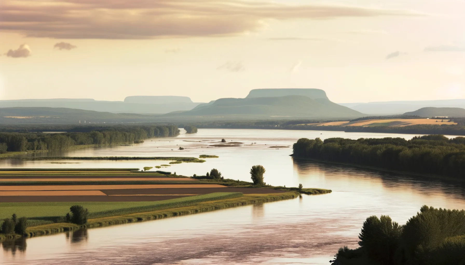 Fleuve6.0 kmLac6.5 km
 Rivière9.0 kmRivière9.8 kmRivière9.8 kmLac9.9 km
Fishing at Lac Saint-Louis, Beauharnois
Lac · Montérégie
LacQuai public
Beauharnois
Sponsored
Partners


Description
Lac Saint-Louis, located in Beauharnois in the Montérégie region, is a popular fishing spot known for its clear waters and diverse fish species. Anglers can expect to catch Smallmouth bass, Walleye, and Largemouth bass, with Walleye being particularly active during the summer months. To enhance your fishing experience, it is advisable to check access conditions and make reservations in advance, especially during peak seasons.
Highlights
- 🎣SpeciesSmallmouth bass, Walleye, Largemouth bass.
- 📍LocationLac Saint-Louis, Beauharnois, Montérégie.
- 📅SeasonWalleye and bass active in summer.
- 💡AdviceCheck access and make reservations in advance.
Onsite Equipment
Boat Launch
Parking
Quai
Réglementation officielle
Zone de pêche, exceptions et règles MFFP / Québec.ca
Nouveautés réglementaires de la zone
Modification of the length limit for muskellunge in all bodies of water in zones 7 and 8, including the St. Lawrence River: 137 cm and more.
Modification of the muskellunge fishing season in bodies of water in zones 7 and 8: winter fishing is now prohibited.
Extension of the moratorium on sport and commercial yellow perch fishing in lac Saint-Pierre and the St. Lawrence River between pont Laviolette and Saint-Pierre-les-Becquets, until 2027.
Exceptions réglementaires sur ce plan d'eau
- Saint-Louis (45°24'05'' N., 73°48'52'' W.)Lac
- Saint-LouisLac
- des Outaouais (Lac des Deux Montagnes) b) (1) Vaudreuil Bay, that part between the Highway 40 bridge (45°25'12.92" N., 73°59'1.92" W.) and a straight line located 180 m upstream of the CN bridge in Dorion (45°23'17.73" N., 74°00'5.13" W.) and a straight line located 360 m upstream of the CN bridge in Sainte-Anne-de-Bellevue (45°24'17.25" N., 73°57'40" W.); (2) Vaudreuil Rapids, that part between the southern tip of Île aux Pins (45°22'35.77" N., 74°00'6.9" W.) and Lake Saint-Louis (45°20'34.56" N., 73°57'22" W.)RivièreNouveau 2026Zone 8 →
- des Outaouais (Lac des Deux Montagnes) e) That part between a straight line situated 360 m upstream from the railroad bridge in Sainte-Anne-de-Bellevue (45°24'17.25" N, 73°57'40.0" W) and Lake Saint-Louis (45°24'03.43" N, 73°56'55.7" W) including that part of the river known as the Proulx channel or Stocker stream up to the end of the L¿Île-Claude road (45°23'55.29" N., 73°58'7.18" W.)RivièreNouveau 2026Zone 8 →
- Châteauguay a) That part between Lake Saint-Louis and the Arthur-Laberge Bridge in Châteauguay (45°21'40" N., 73°44'49" W.)RivièreNouveau 2026Zone 8 →
Source : peche.faune.gouv.qc.ca — vérifie toujours les règles officielles avant de pêcher.
Location
Other fishing spots nearby
8Lac0.4 kmBeauharnois (repère canal)
Lac1.3 kmLac Saint-Louis
Beauharnois
Fleuve6.0 kmFleuve St-Laurent
Pointe des cascades
Lac6.5 kmLac St-Louis
Pointe des cascades
Rivière9.0 kmRivière des Outaouais
Pincourt
Rivière9.8 kmRivière des Outaouais
Vaudreuil-Dorion
Rivière9.8 kmRivière des Outaouais
Pincourt
Lac9.9 kmLac St-Louis
L'Île-Perrot