Zone 23 fishing in Quebec
MFFP 2026 regulations, limits, opening dates & exceptions
117
Exceptions
1
2026 novelties
35
Winter fishing
8
Salmon rivers
Zone map
Fish species in Zone 23
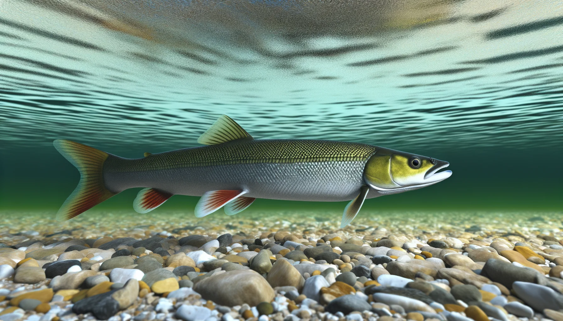

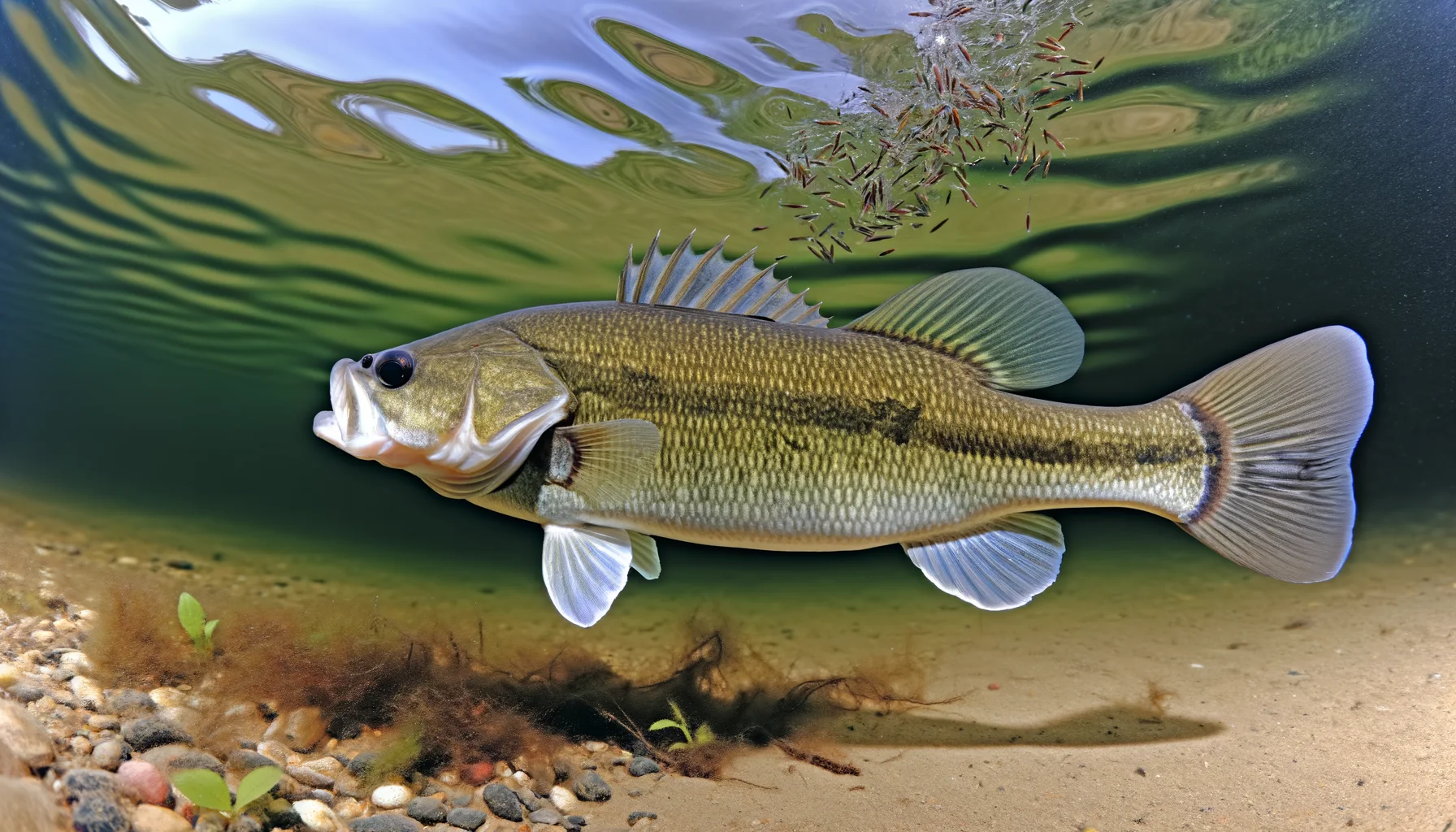


→ Tap a species for habitat, baits, techniques and seasons.
Complete zone rules
Zone 26
Fishing zones :
- Fishing zones 1
- Fishing zones 2
- Fishing zones 3
- Fishing zones 4
- Fishing zones 5
- Fishing zones 6
- Fishing zones 7
- Fishing zones 8
- Fishing zones 9
- Fishing zones 10
- Fishing zones 11
- Fishing zones 12
- Fishing zones 13
- Fishing zones 14
- Fishing zones 15
- Fishing zones 16
- Fishing zones 17
- Fishing zones 18
- Fishing zones 19
- Fishing zones 20
- Fishing zones 21
- Fishing zones 22
- Fishing zones 23
- Fishing zones 24
- Fishing zones 25
- Fishing zones 26
- Fishing zones 27
- Fishing zones 28
- Fishing zones 29
Zone 26
New rules
New rules have been in effect in this zone since April 1, 2026. See the latest changes the latest changes.
On this page:
Maps
Interactive map of fishing zones
Fishing periods and quotas
The opening and closing dates and catch limits may vary from one body of water to another in the same area. You should always check to see if your body of water is a regulatory exception.
**Zone's fishing periods, limits and exceptions (PDF)
Printable version.
Length limits for some species
It is prohibited to catch and keep or have in your possession a fish from the waters specified that does not comply with the length limits indicated for your zone. If a fish species or a zone is not mentioned in the table, no length limit applies to the species in this zone.
The fish must be kept in a state allowing its identification.
Walleye
May keep Walleye between 32 cm up to and including 47 cm in length (respecting the daily fishing quotas)
No length limit for sauger.
State of fish Whole, gutted or wallet filleted. Walleye and sauger don't have to be wallet filleted in the bodies of water where no length limit applies to these species. It must be possible to count and identify the fish (a piece of skin must adhere to the fillet).
Note These measurements do not apply in national parks, wildlife reserves, controlled harvesting zones (ZECs) and in certain bodies of water located on some outfitters with exclusive rights areas.
Learn how to distinguish walleye from sauger.
Lake trout (including splake trout)
May keepLake trout of 45 cm or more
ExceptionsMay keep lake trout of 55 cm or more in certain lakes.
State of fishWhole or gutted, only where a length limit applies. Elsewhere, lake trout may be whole or filleted. It must be possible to count and identify the fish (a piece of skin must adhere to the fillet).
Note These measurements do not apply in national parks, wildlife reserves, controlled harvesting zones (ZECs) and on certain water bodies located in the territories of a number of outfitting operation with exclusive rights.
Use of dead bait fish
Possession and use of dead bait fish is prohibited in this zone.
Number of lines authorized in winter
5 lines on a body of water covered with ice or not, from December 20 to March 31
Printable version of zone 26 (PDF)
Length limits, bait fish allowed and number of lines authorized in winter.
Biodiversity, Wildlife and Parks – Client Services
Monday, Tuesday, Thursday and Friday: from 8:30 a.m. to 12 p.m. and from 1 p.m. to 4:30 p.m.
Wednesday: from 10 a.m. to 12 p.m. and from 1 p.m. to 4:30 p.m.
Regulatory information:
renseignements.faune@environnement.gouv.qc.ca
See also
How to measure and fillet fish
Possession and identification of fish
Zone 27
Fishing zones :
- Fishing zones 1
- Fishing zones 2
- Fishing zones 3
- Fishing zones 4
- Fishing zones 5
- Fishing zones 6
- Fishing zones 7
- Fishing zones 8
- Fishing zones 9
- Fishing zones 10
- Fishing zones 11
- Fishing zones 12
- Fishing zones 13
- Fishing zones 14
- Fishing zones 15
- Fishing zones 16
- Fishing zones 17
- Fishing zones 18
- Fishing zones 19
- Fishing zones 20
- Fishing zones 21
- Fishing zones 22
- Fishing zones 23
- Fishing zones 24
- Fishing zones 25
- Fishing zones 26
- Fishing zones 27
- Fishing zones 28
- Fishing zones 29
Zone 27
New rules
New rules have been in effect in this zone since April 1, 2026. See the latest changes the latest changes.
On this page:
Maps
Interactive map of fishing zones
Fishing periods and quotas
The opening and closing dates and catch limits may vary from one body of water to another in the same area. You should always check to see if your body of water is a regulatory exception.
**Zone's fishing periods, limits and exceptions (PDF)
Printable version.
Length limits for some species
It is prohibited to catch and keep or have in your possession a fish from the waters specified that does not comply with the length limits indicated for your zone. If a fish species or a zone is not mentioned in the table, no length limit applies to the species in this zone.
The fish must be kept in a state allowing its identification.
Pike
May keepPike of any length
ExceptionsMay keep pike from 56 cm to 70 cm inclusively in Bassin Louise and in the Rivière Montmorency, between the foot of Chute Montmorency and the northern right-of-way of Route 138.
State of fishWhole or gutted where a length limit applies. Elsewhere, pike may be whole or filleted. Fish must be able to be counted and identified (a piece of skin must remain attached to the fillet).
Walleye
May keep Walleye between 37 cm and 53 cm inclusively
No length limit for sauger.
State of fish Whole, gutted or wallet filleted
Learn how to distinguish walleye from sauger.
Char
May keepChar of any length, where char fishing is permitted, except in certain rivers where the length limit for char is less than 30 cm.
State of fishWhole or gutted where a length limit applies. Elsewhere, char may be whole or filleted. Fish must be able to be counted and identified (a piece of skin must remain attached to the fillet).
Lake trout (including splake trout)
May keepLake trout of 45 cm or more
ExceptionMay keep lake trout of 55 cm or more in certain bodies of water.
State of fishWhole or gutted, only where a length limit applies. Elsewhere, lake trout may be whole or filleted. It must be possible to count and identify the fish (a piece of skin must adhere to the fillet).
NoteThese measures do not apply in national parks, wildlife sanctuaries, ZECs and certain bodies of water in areas specific outfitters have exclusive rights to.
Use of dead bait fish
Dead shrimp as the only bait fish allowed for possession for Atlantic tomcod fishing only in one part of rivière Sainte‑Anne between the upstream side of route 138 bridge and the upstream side of autoroute 40:
From December 26 to March 31
From December 1 to April 15, there may be possession of dead bait fish between parts of autoroutes 20 and 40 and routes 132 and 138, located in zones 1, 2, 3, 18, 19 and 27, and for use in zones 7 and 21.
Use the map of fishing zones to visualize this information by displaying the “Bait Fish” layer.
Number of lines authorized in winter
5 lines on a body of water covered with ice or not, from December 20 to March 31
10 lines, from Decembre 26 to March 31, are authorized in the rivière Sainte‑Anne, upstream side of the route 138 bridge, at Sainte‑Anne‑de‑la‑Pérade, and the upstream side of the autoroute 40 bridge.
Printable version of zone 27 (PDF)
Length limits, bait fish allowed and number of lines authorized in winter.
Biodiversity, Wildlife and Parks – Client Services
Monday, Tuesday, Thursday and Friday: from 8:30 a.m. to 12 p.m. and from 1 p.m. to 4:30 p.m.
Wednesday: from 10 a.m. to 12 p.m. and from 1 p.m. to 4:30 p.m.
Regulatory information:
renseignements.faune@environnement.gouv.qc.ca
See also
How to measure and fillet fish
Imported from quebec.ca · 5/1/2026
Periods and catch limits — Zone 23
Official rules from the Government of Quebec, reproduced word for word. Search by species, period or limit.
Always check the official tool before fishing. The government publishes in-season changes, and limits inside structured wildlife territories (zecs, réserves, outfitters) may differ.
Data retrieved on October 20, 2026.
Zone 23 nord
10 rules
- Chevalier cuivré
Du 1 er avril 2026 au 31 mars 2027
Pêche interdite
- Corégones, esturgeon jaune, meuniers, lotte, laquaiche argentée et laquaiche aux yeux d'or
Du 1 er avril 2026 au 31 mars 2027
Pêche interdite
- Brochets
Du 1 er juin 2026 au 7 septembre 2026
10 en tout
Pêche à la ligne seulement
- Omble chevalier
Du 1 er juin 2026 au 7 septembre 2026
5
Pêche à la ligne seulement
- Omble de fontaine
Du 1 er juin 2026 au 7 septembre 2026
15 ou 8 kg + 1 omble, selon la première limite atteinte
Pêche à la ligne seulement
- Ouananiche
Du 1 er juin 2026 au 7 septembre 2026
4
Pêche à la ligne seulement
- Saumon atlantique
Du 1 er juin 2026 au 7 septembre 2026
1 petit pris et gardé
Length limit : petit (au moins 30 cm et moins de 63 cm) et grand (63 cm et plus)
Pêche à la ligne seulement
Ailleurs que dans les rivières à saumon. Permis de pêche au saumon obligatoire.
- Touladi, moulac et lacmou
Du 1 er juin 2026 au 7 septembre 2026
3 en tout
Length limit : moins de 60 cm et au plus 1 mesurant 60 cm ou plus
Pêche à la ligne seulement
- Touladi, moulac et lacmou
Du 8 septembre 2026 au 30 septembre 2026
0 gardé
Pêche à la ligne seulement
Toute personne qui désire pêcher le touladi durant cette période doit utiliser les services d'un pourvoyeur en activité sur le territoire.
- Autres espèces
Du 1 er juin 2026 au 7 septembre 2026 - Autres espèces
aucune limite
Length limit : moins de 90 cm
Pêche à la ligne seulement
84 water bodies with their own rules— tap to see the list
These water bodies have limits that differ from the zone. Their detail is in the official tool and in the full PDF above.
- Anse Bell entre les points 59°58'02" N., 65°07'50" O. et 59°53'39" N., 65°00'38" O.
- Anse Davis (Inlet), entre les points 59°15' N., 65°37' O. et 59°10' N., 65°34' O.
- Anse Gregson (Inlet), entre les points 59°15'9,5'' N., 65°33'51'' O. et 59°08'24'' N., 65°28'37'' O.
- Anse Sans nom * entre les points 59°28' N., 65°22' O. et 59°24' N., 65°15' O. * entre les points 59°25' N., 65°25' O. et 59°23' N., 65°19' O.
- Anse Weymouth ( 59°20'42" N., 65°28'25" O. )
- Baie Tasikallak (Terres II de Kangiqsualujjuaq)( 58°57'59" N., 65°26'31" O. )
- Eaux du coude Allipaaq (Terres I, Salluit)( 62°04'48" N., 74°41'40" O. )
- Fjord Alluviaq entre les points 59°29'40,26" N., 65°23'02,57" O. et 59°22'18,84" N., 64°56'23,53" O.
- Lac Aannaniavik ( 58°39'43" N., 66°28'25" O. )
- Lac Aatamialuk (Terres I, Salluit)( 62°03' N., 75°41' O. )
- Lac Amaluttuq (Terres II, (Quaqtaq)( 60°43'09" N., 69°44'29" O. )
- Lac Amarutaliup ( 58°38' N., 66°28' O. )
- Lac Annabel ( 55°03'42" N., 67°06'34" O. )
- Lac aux Goélands (Terres II)( 55°28'02" N., 64°14'19" O. )
- Lac Ballantyne (Terres II (Kuujjuaq)), entre les points 58°47' N., 69°10' O. et 58°27' N., 69°10' O.
- Lac Bérard (Terres II de Tasiujaq - 58°28'40" N., 70°03'21" O. )
- Lac Cacher ( 54°48' N., 66°50' O. )
- Lac Chaunet (Terres II de Kangirsuk)( 60°13'35" N., 70°15'38" O. )
- Lac Deharveng (Terres I, (Tasiujaq)( 58°23'27" N., 69°58'07" O. )
- Lac Diana (Terres II (Kuujjuaq) ( 58°26' N., 68°58' O. ))
- Lac Ducreux ( 57°45' N., 69°33' O. )
- Lac Dulhut (Terres II de Tasiujaq - 58°40'46" N., 70°37'42" O. )
- Lac Duquet entre les points 62°07' N., 74°34' O. et 62°02' N., 74°31' O.
- Lac Fougeraye (Terres II de Kangiqsualujjuaq)( 58°31'30" N., 66°20'37" O. )
- Lac Françoys-Malherbe (Terres II (Salluit)), entre les points 62°07' N., 74°15' O. et 61°55' N., 74°15' O.
- Lac Inconnu ( 57°48'21" N., 69°31'45" O. )
- Lac Iqalattuuq (Terres II de Kangiqsujjuaq)( 60°30'53" N., 72°02'45" O. )
- Lac Iqaluppilik (Terres II, (Quaqtaq)( 60°42'30" N., 69°43'10" O. )
- Lac Isuilutaq (Terres II d'Inukjuak ( 58°41'47" N., 78°12'14" O. ))
- Lac Kupaaluk (Terres II de Kangiqsualujjuaq)( 58°29'04" N., 65°54'24" O. )
- Lac La Roncière (Terres II (Kangiqsualujjuaq)), entre les points 58°23' N., 66°24' O. et 58°09' N., 66°01' O.
- Lac Lachance ( 58°17'20" N., 70°00'58" O. ) (Terres II, (Tasiujaq))
- Lac Le Fer (Terres III)( 55°18'12" N., 67°20'26" O. )
- Lac Livaudière ( 57°50'30" N., 69°30'56" O. )
- Lac Mistinibi ( 55°57'34" N., 64°04'26" O. )
- Lac Moriné ( 60°11'07" N., 69°52'58" O. ) (Terres II, (Kangirsuk))
- Lac Nagyaraaluk ( 60°44'05" N., 70°57'26" O. ) (Terres II, (Quaqtaq))
- Lac Nauligarvilaap Tasialunga (Terres II d'Inukjuak ( 58°46'07" N., 78°03'54" O. ))
- Lac Ningniugninnait Tasignat (Terres I de Kangiqsualujjuaq, (Old Women)( 58°45' N., 65°55' O. )
- Lac Roberts ( 60°22'18" N., 70°25'06" O. )
- Lac Stewart (Terres I de Kuujjuak, ( 58°10'37" N., 68°26'17" O. ))
- Lac Tait ( 55°07' N., 66°48' O. )Terres I-BN Kawawachikamach
- Lac Tasiataq ( 58°45'16" N., 71°46'34" O. )
- Lac Tasikallaapik (Terres I de Tasiujaq - ( 58°35'50" N., 69°42'30" O. ))
- Lac Tasirluk (Terres I de Kuujjuak, ( 58°05'42" N., 68°28'05" O. ))
- Lac Tassy (Terres II de Kawawachikamach)( 55°56'34" N., 67°15'36" O. )
- Lac Tesialuk (Terres III)( 58°22'58" N., 66°59'44" O. )
- Lac Théophile-Poitras ( 55°31'00" N., 64°30'46" O. )
- Lac Tunulliup ( 58°27'39" N., 66°33'29" O. )
- Lac Turcotte ( 58°08' N., 68°49' O. )
- Lac Ujarasujjulik (Terres I, Kangiqsualujjuaq)( 58°45'49" N., 65°48'10" O. )
- Lac Vacher ( 54°55' N., 66°55' O. )
- Lac Woussen (Terres I de Kangirsuk, ( 60°04'02" N., 70°16'35" O. ))
- Rivière à la Baleine entre une ligne reliant le point 56°50'22" N., 66°29'36" O. en aval du lac Ninawawe et le point 56°37'24" N., 66°12'00" O. à l'embouchure du lac Ninawawe.
- Rivière à la Baleine entre une ligne reliant les points 58°00'00" N., 67°43'33" O. et 58°00'00" N., 67°42'18" O. au point 56°50'22" N., 66°29'36" O. en aval du lac Ninawawe.
- Rivière Abrat * (Terres II Kangiqsualujjuaq), entre les points 59°14'27'' N., 65°18'23'' O. et 59°03'49'' N., 65°06'53'' O. * (Terres III, Killiniq), entre les points 59°03'56" N., 65°06'50" O. et 59°03'42" N., 65°02'36" O.
- Rivière Alluviaq (Terres II, Killiniq) entre les points 59°22'19" N., 64°56'22" O. et 59°02'59" N., 64°32'21" O.
- Rivière Arnaud (Terres II, Kangirsuk), entre les points 59°59' N., 71°53' O. et 60°01' N., 70°44' O.
- Rivière Arnaud (Terres III, Kangirsuk), entre les points 60°01' N., 70°44' O. et 60°01' N., 70°23' O.
- Rivière aux Feuilles entre une ligne reliant les points 58°45'30" N., 70°08'42" O. et 58°46'56" N., 70°07'57" O. et une ligne reliant les points 57°23'36" N., 74°30'00" O. et 57°25'34" N., 74°30'00" O.
- Rivière aux Mélèzes entre le point 57°12'00" N., 71°38'00" O. et une ligne reliant les points 56°52'30" N., 72°50'00" O. et 56°52'20" N., 72°50'00" O.
- Rivière aux Mélèzes entre les points 57°23'11" N., 70°39'00" O. et 57°23'32" N., 70°38'59" O. et les points 57°12'10" N., 71°38'02" O. et 57°12'52" N., 71°38'07" O.
- Rivière aux Mélèzes entre une ligne reliant les points 57°41'24" N., 69°27'00" O. et 57°41'00" N., 69°27'00" O. et les points 57°23'11" N., 70°39'00" O. et 57°23'32" N., 70°38'59" O.
- Rivière Barnoin (Terres II, Kangiqsuallujjuaq), entre les points 58°40' N., 65°37' O. et 58°32' N., 65°28' O. et 58°28' N., 65°21' O. et 58°16' N., 65°11' O.
- Rivière Barnoin (Terres III), entre les points 58°31'46,15" N., 65°17'18,31" O. et 58°25' N., 65°00' O.
- Rivière Bérard (Terres I et II, Tasiujaq), entre les points 58°35' N., 70°02' O. et 58°38' N., 69°59' O.
- Rivière Caniapiscau La partie entre sa confluence avec la Rivière Koksoak et la Chute du Calcaire située à 27 km en amont.
- Rivière de Pas entre le point 55°28'30" N., 65°07'00" O. et le point 55°09'02" N., 65°37'00" O.
- Rivière de Pas entre son point de confluence avec la rivière George, délimité par une ligne reliant les points 55°53'04" N., 64°45'54" O. et 55°53'04" N., 64°45'18" O. et le point 55°49'31" N., 65°03'18" O.
- Rivière Delay entre son point de confluence avec la rivière Du Gué délimité par une ligne reliant les points 56°56'42" N., 71°28'18" O. et 56°56'24" N., 71°28'18" O. et une ligne reliant les points 56°14'59" N., 70°50'19" O. et 56°14'47" N., 70°50'35" O.
- Rivière du Gué entre son point de confluence avec la rivière aux Mélèzes délimité par une ligne reliant les points 57°21'00" N., 70°43'54" O. et 57°21'00" N., 70°45'24" O. et une ligne reliant les points 56°37'06" N., 72°20'00" O. et 56°37'10" N., 72°20'00" O.
- Rivière Duquet entre les points 62°02' N., 74°31' O. et 61°57' N., 74°40' O.
- Rivière Ford entre son point de confluence avec la rivière George, délimité par une ligne reliant les points 58°10'44" N., 65°47'00" O. et 58°10'34" N., 65°47'00" O. et le point 58°08'56" N., 65°35'00" O.
- Rivière George * entre une ligne reliant les points 58°41'59" N., 66°03'00" O. et 58°39'11" N., 66°02'58" O. et la limite nord de la zone 24 délimitée par une ligne reliant les points 56°32'07" N., 64°43'58" O. et 56°30'57" N., 64°45'41" O. * entre la limite sud de la zone 24 délimitée par une ligne reliant les points 56°02'08" N., 64°44'28" O. et 56°01'52" N., 64°44'54" O. et l'extrémité Nord de l'île située au confluent des rivières Georges et de Pas au point 55°53'04" N., 64°45'38" O. * entre l'extrémité Nord de l'île située au confluent des rivières Georges et de Pas au point 55°53'04" N., 64°45'38" O. et le point 55°17'00" N., 64°29'52" O.
- Rivière Goudalie la partie de la rivière comprise entre son point de confluence avec la rivière aux Feuilles, délimité par une ligne reliant les points 57°56'18" N., 72°58'32" O. et 57°55'44" N., 72°58'44" O. , et une ligne reliant les points 58°02'42" N., 73°19'00" O. et 58°02'18" N., 73°19'00" O.
- Rivière Koksoak entre une ligne reliant les points 58°32'59" N., 68°11'08" O. et 58°31'50" N., 68°07'32" O. et une ligne reliant les points 57°41'24" N., 69°27'00" O. et 57°41'00" N., 69°27'00" O.
- Rivière Koroc la partie située en Terres II, Kangiqsualujjuaq.
- Rivière Koroc la partie située en Terres III.
- Rivière Lagrevé entre la décharge du lac Qamanikuluk, située en Terres II de Kangiqsualujjuaq et sa jonction avec la baie d'Ungava, à l'exception du lac Tunulliup.
- Rivière Maricourt entre son point de confluence avec la rivière Delay délimité par une ligne reliant les points 56°31'38" N., 71°04'40" O. et 56°31'42" N., 71°04'40" O. et le point 56°33'04" N., 70°55'00" O.
- Rivière Péladeau (Terres II, Aupaluk et Tasiujaq), entre les points 58°50' N., 70°45' O. et 58°35' N., 70°30' O.
- Rivière Qurlutuq entre les points 58°26'47,17" N., 66°43'43,90" O. et 58°21' N., 66°40' O.
- Rivière Wakeham la partie située en Terres II, Kangiqsujuaq.
- Rivière Wakeham la partie située en Terres III.
Zone 23 sud
6 rules
- Brochets
Du 1 er juin 2026 au 7 septembre 2026
10 en tout
- Omble de fontaine
Du 1 er juin 2026 au 7 septembre 2026
15 ou 5 kg + 1 omble, selon la première limite atteinte
- Ouananiche
Du 1 er juin 2026 au 7 septembre 2026
2
Pêche à la ligne seulement
- Touladi, moulac et lacmou
Du 1 er juin 2026 au 7 septembre 2026
3 en tout
Length limit : moins de 60 cm et au plus 1 mesurant 60 cm ou plus
Pêche à la ligne seulement
- Touladi, moulac et lacmou
Du 8 septembre 2026 au 30 septembre 2026
0 gardé
Pêche à la ligne seulement
- Autres espèces
Du 1 er avril 2026 au 31 mars 2027 - Autres espèces
Pêche interdite
10 water bodies with their own rules— tap to see the list
These water bodies have limits that differ from the zone. Their detail is in the official tool and in the full PDF above.
- Lac Germaine ( 52°58' N., 67°40' O. )
- Lac Hasté ( 53°07' N., 68°27' O. )
- Lac Kerbodot ( 53°27' N., 67°42' O. )
- Lac La Justone ( 52°53' N., 68°27' O. )
- Lac Lapointe ( 53°27' N., 68°35' O. )
- Lac Le Prévost ( 52°58' N., 67°17' O. )
- Lac Opiscotéo ( 53°10' N., 68°10' O. )
- Lac Raimbault ( 53°13'N., 68°21' O. )
- Lac Ternay ( 53°25'30" N., 69°05'30" O. )
- Lac Vignal ( 53°18' N., 68°23' O. )
Looking for one species across every zone? Search the limits by species
Recent news
- 2022-07-07
- 2022-07-07
- 2021-08-02
- 2022-07-07
- 2018-07-25
Water bodies with regulatory exceptions
60 shown of 117 — see the official map for the full list
Top fishing spots in Zone 23
See more on the interactive map · /carte
Frequently asked questions
Q1.What are the fishing regulations for Zone 23 in Quebec in 2026?
Zone 23 (Zone 23) regulations are published by Quebec's Ministry of Forests, Wildlife and Parks (MFFP) in the 2026 General Fishing Order. The zone has 117 water-body specific exceptions, 1 new for 2026. See the official tool at peche.faune.gouv.qc.ca/regpec for catch limits, opening dates, and minimum sizes per species.
Q2.When does fishing season open in Zone 23 for 2026?
Opening dates vary by species: walleye typically opens 3rd Saturday of May, bass 4th Saturday of June, brook trout late April in the south to early June in the north. Check the 2026 General Order for exact dates in Zone 23.
Q3.What's the catch limit for walleye and pike in Zone 23?
Standard 2026 limits: walleye 6 per day, northern pike 6 per day. Some water bodies in Zone 23 have stricter limits — 117 exceptions are listed on this page. Refer to peche.faune.gouv.qc.ca/regpec for the exact rule on your lake.
Q4.Where can I fish in Zone 23 in Quebec?
Popular spots inside or near Zone 23 include: Kuujjuaq (repère). The full interactive map with 3,600+ Quebec fishing spots is available on pecheurquebec.com/carte.
Q5.Do I need a special permit for Zone 23?
A standard MFFP fishing license is required everywhere in Quebec (~$24/year for Quebec residents). For wildlife reserves and national parks within Zone 23, you also need a daily SEPAQ access reservation. Buy online at sepaq.com.
See also
Buyer’s guides
The gear we recommend


Infolettre
Get Quebec fishing dates and updates
Season openings, regulation changes, spots and tips: an occasional email, nothing else.
Exact rules by water body
Catch limits, minimum sizes and opening dates for every lake and river in Zone 23 — official Quebec government tool.
Source: MFFP — peche.faune.gouv.qc.ca. Always verify official rules before fishing.